Wiesing - Wiesinger Bühel - Bühelkreuz - Erlach - Wiesing
Important Infomation
🔖
Route Length
3.1 km
🜏
Elevation Gain
110 hm
🞍
Highest Point
680 hm
🔲
Elevation Loss
110 hm
Time Uphill
00:30 h
Time Downhill
00:45 h
🏀
Route Time Total
01:15 h
🞽
Difficulty
Easy
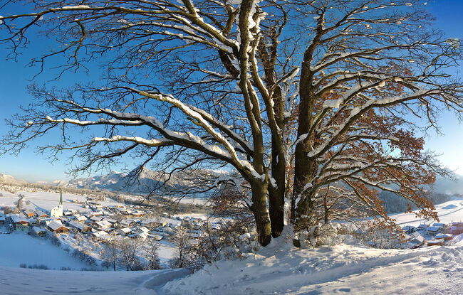
Starting Point: Wiesing, parish church
End Point: Wiesing, parish church
Route Type: Roundtrip
Elevation Profile


Description
From the parish church Wiesing, follow the village road to the primary school. After the kindergarten, turn left and continue along the Leitenweg path in the direction of Jenbach. At the first sitting bench, turn right and follow the path as it meanders up to the Mandlbödele, where you will find a viewing platform and a small playground. The path continues along the ridge to the Bühelkreuz. Take the path back via the district Erlach and follow the village road to the village centre of Wiesing.