Wiesing - Fischl - Dreifaltigkeitskapelle Stanglegg - Wiesing
Important Infomation
🔖
Route Length
4.3 km
🜏
Elevation Gain
190 hm
🞍
Highest Point
765 hm
🔲
Elevation Loss
190 hm
Time Uphill
00:45 h
Time Downhill
00:45 h
🏀
Route Time Total
01:30 h
🞽
Difficulty
Easy
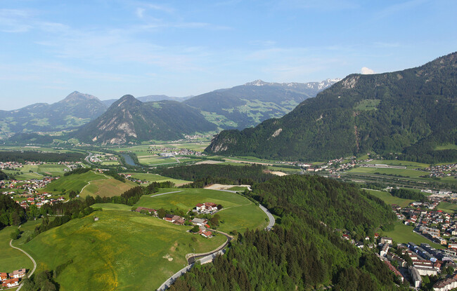
Starting Point: Wiesing, parish church
End Point: Wiesing, parish church
Elevation Profile
Description
From the parish church Wiesing, follow the village road past the primary school until you reach the district Erlach. In the northern part of the district, the Feldererkapelle chapel is right next to the village road. From here, follow the road in a northerly direction. Walk through the underpass of the Achensee main road until you reach the asphalt path in the direction of “Stangleggerhof”. The path leads directly to the trinity church Stanglegg. The return is via the same route.