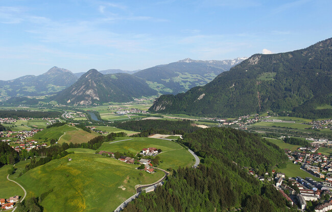
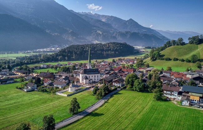
Wiesing - Astenberg - Panorama-Restaurant Kanzelkehre - Wiesing
Important Infomation
🔖
Route Length
7.2 km
🜏
Elevation Gain
320 hm
🞍
Highest Point
896 hm
🔲
Elevation Loss
320 hm
Time Uphill
01:30 h
Time Downhill
01:00 h
🏀
Route Time Total
02:30 h
🞽
Difficulty
Medium
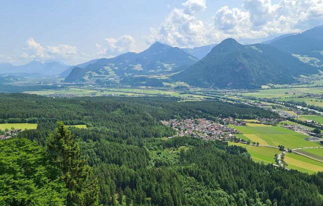
Starting Point: Wiesing, parish church
End Point: Wiesing, parish church
Elevation Profile
Description
The tour starts from the parish church Wiesing. Follow the village road above the parish church to the Rofansiedlung residential area. Once you reach the uppermost houses, turn left, and follow the forest path to Erlach (see signposts “Waldweg nach Erlach”). From here, walk in the direction of Astenberg and to the Panorama-Restaurant Kanzelkehre. The return is via the same route, or by bus.