Vorderunnutz (2,078m)
Important Infomation
🔖
Route Length
6.5 km
🖈
Snowed
No
🞽
Difficulty
Easy
🞍
Highest Point
2078 hm
🜏
Elevation Gain
1050 hm
🅔
Biathlon
No
Elevation Profile
Description
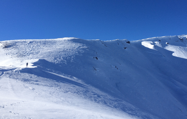
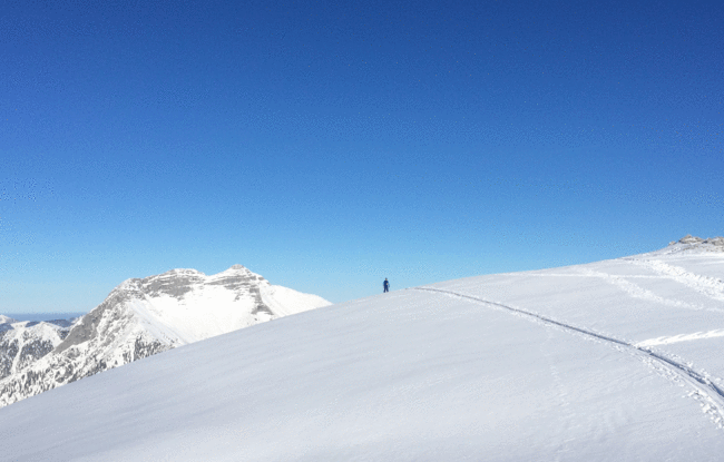
Overall character: Ski tour with splendid vistas between Steinberg and Achenkirch. A good sense of direction is recommended.
Ascent: Climb uphill alongside the right edge of the ski slope. After a few metres, turn right into the forest, follow the wide path in a westerly direction and walk through the ditch. At the signpost, turn right and follow the summer hiking path in a westerly direction next to a ridge. Leave the path in front of the ditch and head to the Schlagkopf (1,688m) via the wooded ridge. South of the Schaarwandkopf (1,867m) continue in a wide arch to the west. Finally walk alongside a wide ridge in a northerly direction to the summit.
Descent: Alongside the ascent route