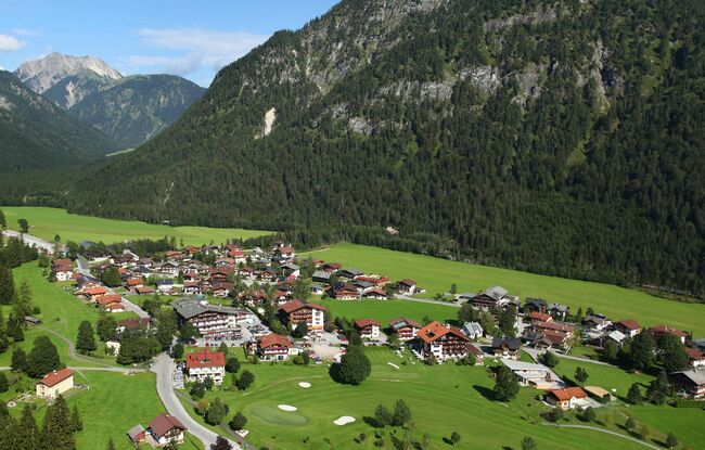
Tristenau Runde
Important Infomation
🔖
Route Length
6 km
🜏
Elevation Gain
130 hm
🞍
Highest Point
1100 hm
🔲
Elevation Loss
120 hm
🞽
Difficulty
Medium
Starting Point: Pertisau, toll booth at the entrance to the Karwendel valleys
End Point: Pertisau, toll booth at the entrance to the Karwendel valleys
Elevation Profile

Description
From the toll booth at the entrance to the Karwendel valleys, the route leads slightly uphill past the golf course and continues through the Tristenau valley. Run past the Karwendel cable car on the left and return to the starting point.