Stuhljöchl (2.157m)
Important Infomation
🔖
Route Length
7 km
🖈
Snowed
No
🞽
Difficulty
Medium
🞍
Highest Point
2157 hm
🜏
Elevation Gain
1200 hm
🅔
Biathlon
No
Elevation Profile
Description
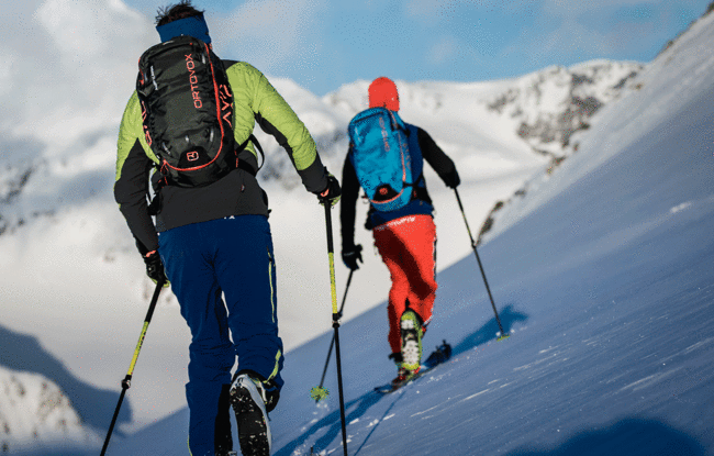
Overall character: Scenic tour above the treeline in the Rofan mountains.
Ascent: The tour starts at the car park (avalanche beacon checkpoint) and leads over the forest road to the Kotalm Niederleger (1,260m), then on the summer hiking path to the Kotalm Mittelleger 1,608m) and through a wide depression in a south-easterly direction. The route continues over a steep section, then follows flat terrain near the dilapidated Hochleger (1,800m) in a north-easterly direction and then to the right alongside the Sticklrinne and finally to the summit.
Descent: Alongside the ascent route