Steinberg - Weißbachl Alm - Schneidalm - Issalm - Breitlahneralm - Guffertstein - Luxeggalm - Steinberg
Important Infomation
🔖
Route Length
19.4 km
🜏
Elevation Gain
1400 hm
🞍
Highest Point
1963 hm
🔲
Elevation Loss
1400 hm
Time Uphill
06:00 h
Time Downhill
03:45 h
🏀
Route Time Total
09:45 h
🞽
Difficulty
Hard
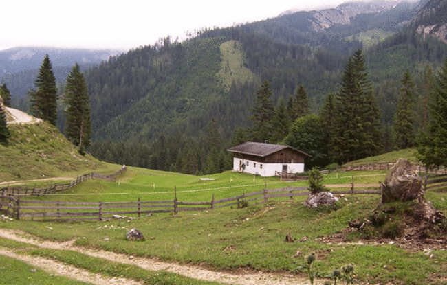
Starting Point: Steinberg am Rofan, car park Waldfrieden
End Point: Steinberg am Rofan, car park Waldfrieden
Route Type: Roundtrip
Elevation Profile
Description
From the car park Waldfrieden, turn left and follow the federal road in the direction of Achenkirch. After ca. 500 metres, turn right and walk along the Weißenbach. Follow the yellow signpost to the Schneidalm (not serviced). From here, turn right and walk to the Schneidjoch. Follow the trail on the right as it descends to the Issalmen (1,413 metres, not serviced). Continue along the waymarked trail to the Breitlahneralm (not serviced) and at the signpost turn right and descend to the plateau of the Gufferstein (1,953 metres). At the signpost, turn left and descend in a southerly direction to the Luxeggalm (decrepit). The trail descends in an easterly direction and takes you to the Bärenwaldweg and back to Steinberg.