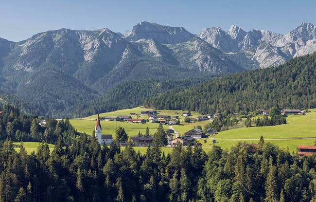
Steinberg - Schmidtquelle - Guffertstein - Neubergalm - Pircheralm - Steinberg
Important Infomation
🔖
Route Length
16.2 km
🜏
Elevation Gain
1110 hm
🞍
Highest Point
1963 hm
🔲
Elevation Loss
1110 hm
Time Uphill
03:00 h
Time Downhill
05:00 h
🏀
Route Time Total
08:00 h
🞽
Difficulty
Hard
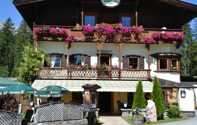
Starting Point: Steinberg am Rofan, inn Gasthof Waldhäusl
End Point: Steinberg am Rofan, inn Gasthof Waldhäusl
Route Type: Roundtrip
Elevation Profile
Description
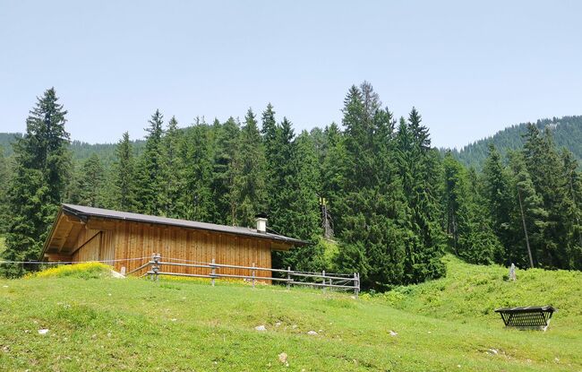
From the inn "Gasthof Waldhäusl", follow the signposts “Guffert”. After ca. 2 hours 15 minutes you arrive at the junction to the Schmidtquelle (dried up spring). Walk past the spring in the direction of the Luxegg until you reach the Guffertstein (1,963 metres). Follow the trail straight on and at the second junction, walk to the Neubergalm (not serviced), see signpost. From the Neubergalm, the trail descends via the Pircheralm (not serviced) to the asphalt road. Keep right and follow the signposts “Steinberg”. Follow the village road straight on and walk past the Appartement Naturetouch back to the inn "Gasthof Waldhäusl".