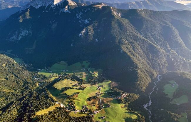
Steinberg Runde
Important Infomation
🔖
Route Length
5.9 km
🜏
Elevation Gain
115 hm
🞍
Highest Point
1075 hm
🔲
Elevation Loss
115 hm
🞽
Difficulty
Medium
Starting Point: Steinberg am Rofan, car park Rofanlifte II
End Point: Steinberg am Rofan, car park Rofanlifte II
Elevation Profile
Description
From the car park Rofan lifts II, this short, slightly hilly route leads first along a beautiful forest path and continues along a gravel path back to the starting point.