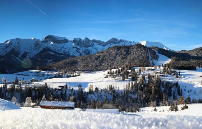
Steinberg Panoramaweg
Important Infomation
🔖
Route Length
14.1 km
🜏
Elevation Gain
300 hm
🞍
Highest Point
1085 hm
🔲
Elevation Loss
300 hm
Time Uphill
02:15 h
Time Downhill
02:15 h
🏀
Route Time Total
04:30 h
🞽
Difficulty
Easy
Starting Point: Steinberg am Rofan, parish church
End Point: Steinberg am Rofan, parish church
Elevation Profile


Description
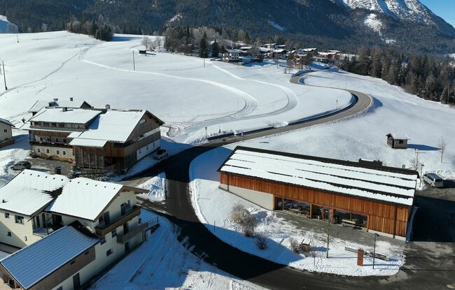
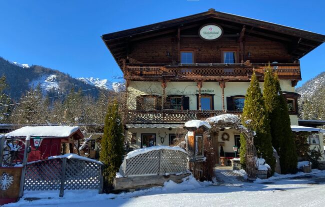
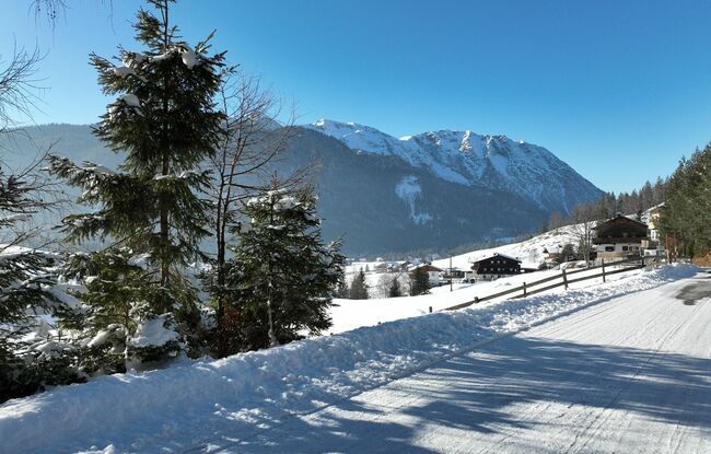
The tour starts from the parish church. After the Dorfhaus, turn right and walk along the federal road below the Waldhäusl inn (for ca. 25 minutes). Turn right in the direction of Kaiserhaus/Pinegg. Follow the road, and at the next junction, keep left and walk straight on to Außersteinberg until you reach the end of the cleared road (former inn Gasthaus Gang, barrier). This route offers beautiful views of Steinberg and is popular on sunny spring days. The return is via the same route.