Steinberg - Panoramarunde
Important Infomation
Elevation Profile
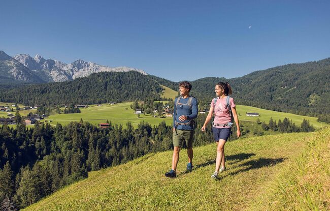
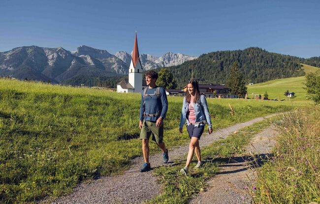
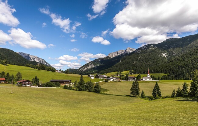

Description
From the parish church Steinberg, walk in a northerly direction past the two houses on the left. Descend to the Mühlbach and walk to the asphalt road. Turn left, walk past a few houses until you reach the next junction. After the last house, turn right. Then walk a short section on the forest road to the left. Before the signpost “Guffert”, follow the driveway in the middle to the Bärenwald path. Follow this path until you arrive at the western incline of the Guffert (see signpost “Guffert”). Turn left and descend to the "Gasthof Waldhäusl". Turn right and walk to the federal road, then turn right and follow the Sandbichl path. Walk past the car park of the Rofan lifts II and after ca. 300 metres, turn left and follow the driveway to a farm. Behind the farm, follow the signpost “Wiesenweg” and walk back to the parish church Steinberg.