Steinberg - Ortswanderweg - Steinberg
Important Infomation
🔖
Route Length
4.4 km
🜏
Elevation Gain
90 hm
🞍
Highest Point
1070 hm
🔲
Elevation Loss
90 hm
🏀
Route Time Total
01:15 h
🞽
Difficulty
Easy
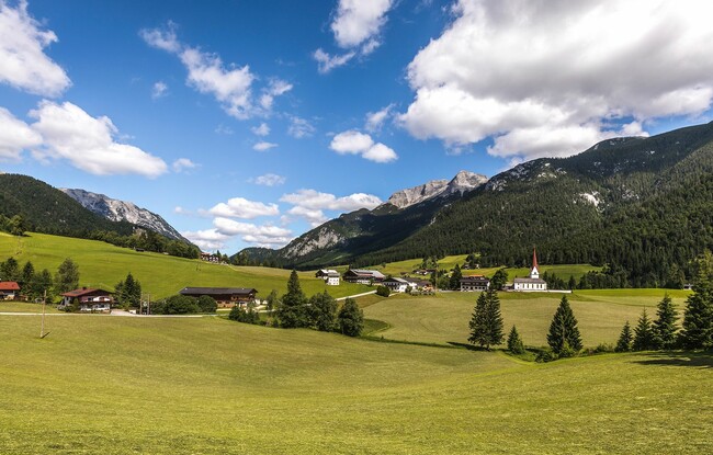
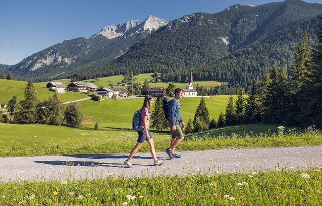
Starting Point: Steinberg am Rofan, parish church
End Point: Steinberg am Rofan, parish church
Route Type: Roundtrip
Elevation Profile
Description
From the parish church Steinberg, follow the village road in the direction of the Rofan lifts II. Walk straight on until you arrive at the festival hall and return to the village road. From here, follow the path along the right-hand side of the road and walk back to the parish church.