Steinberg - Bärenwald Runde - Steinberg
Important Infomation
🔖
Route Length
4.8 km
🜏
Elevation Gain
180 hm
🞍
Highest Point
1095 hm
🔲
Elevation Loss
180 hm
🏀
Route Time Total
01:30 h
🞽
Difficulty
Easy
Starting Point: Steinberg am Rofan, parish church
End Point: Steinberg am Rofan, parish church
Route Type: Roundtrip
Elevation Profile
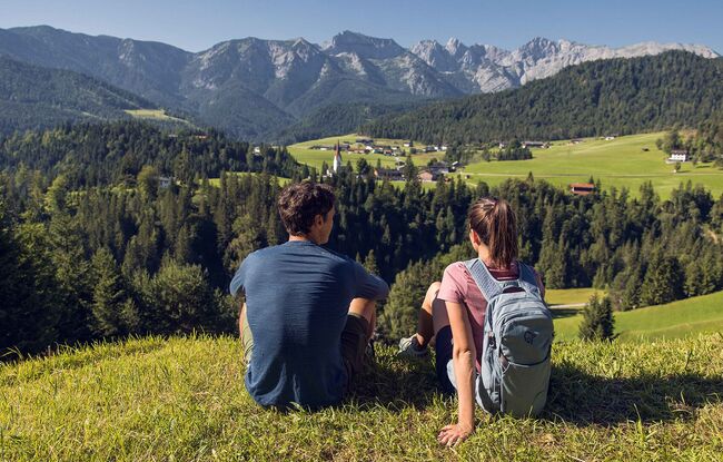


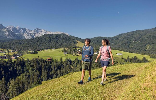
Description
From the parish church Steinberg, walk in a northerly direction past the two houses on the left. Descend to the Mühlbach and walk to the asphalt road. Turn left and walk past some houses to the next junction. After the last house, turn right. Then walk a short section on the forest road to the left. Before the signpost “Guffert” follow the driveway in the middle to the Bärenwald path. Follow this path until you arrive at the western incline of the Guffert (see signpost “Guffert”). Turn left and descend to the "Gasthof Waldhäusl", then turn left again and walk back to the parish church Steinberg.