Schönjoch Runde
Important Infomation
🔖
Route Length
6.2 km
🜏
Elevation Gain
210 hm
🞍
Highest Point
1255 hm
🔲
Elevation Loss
205 hm
🞽
Difficulty
Hard
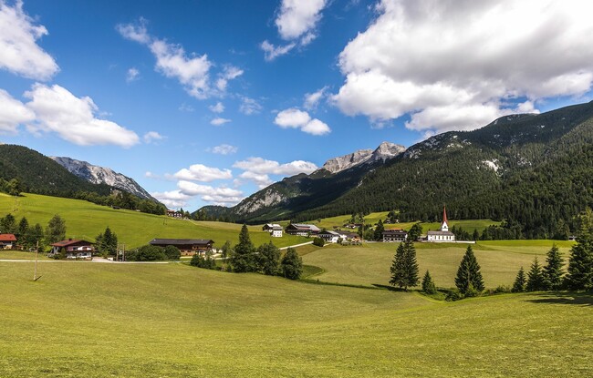
Starting Point: Steinberg am Rofan, car park Rofanlifte II
End Point: Steinberg am Rofan, car park Rofanlifte II
Elevation Profile
Description
From the car park Rofan lifts II, this difficult route leads slightly uphill through the forest, where you can enjoy a magnificent view of Steinberg. After numerous bends, you return to the starting point via a somewhat steeper gravel path.