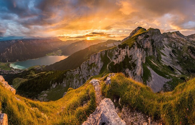
Rofan tour
Important Infomation
🔖
Route Length
30.5 km
🜏
Elevation Gain
1450 hm
🞍
Highest Point
2291 hm
🔲
Elevation Loss
2290 hm
🏀
Route Time Total
16:00 h
🞽
Difficulty
Medium
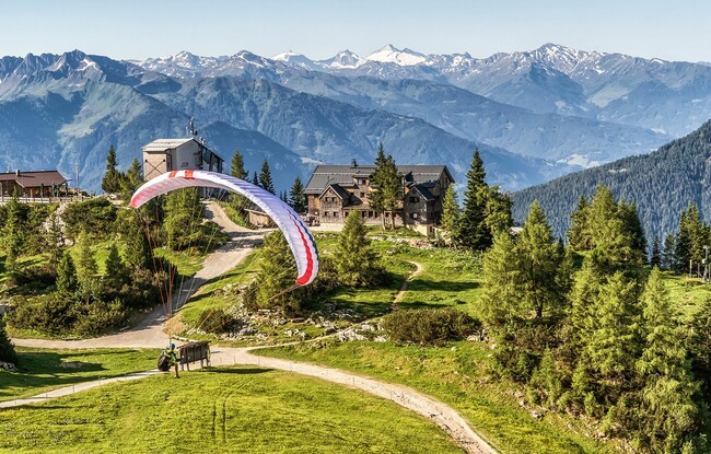
Starting Point: Maurach, valley station of the Rofan cable car
End Point: Maurach, valley station of the Rofan cable car
Route Type: Roundtrip
Elevation Profile


Description
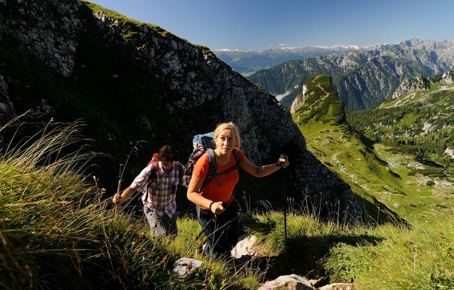
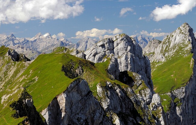
The Rofan tour is a challenging multi-day hike where you get to explore the mountains of the Brandenberg Alps on foot and stay overnight in cosy mountain huts. The route has ca. 30 kilometres in total and breaks down into 4 sections. If you enjoy hiking on rocky terrain like a chamois and climbing imposing summits, then this tour is for you.