Rodelhütte Runde
Important Infomation
🔖
Route Length
10.4 km
🜏
Elevation Gain
205 hm
🞍
Highest Point
990 hm
🔲
Elevation Loss
205 hm
🞽
Difficulty
Medium
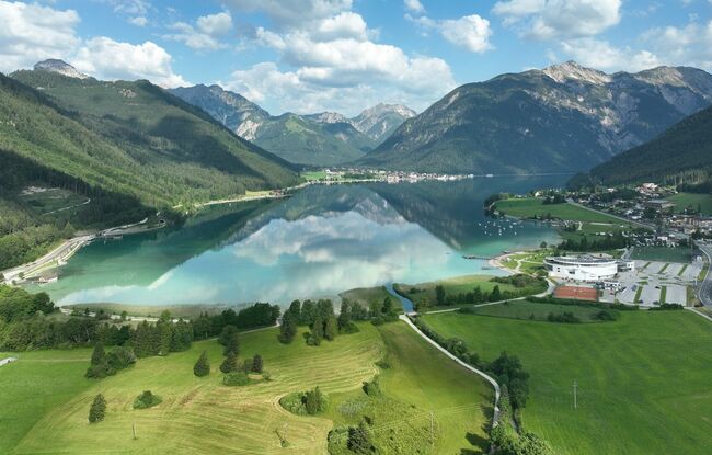
Starting Point: Maurach, SEE-Bad Atoll Achensee
End Point: Maurach, SEE-Bad Atoll Achensee
Elevation Profile
Description
From the SEE-Bad of the Atoll Achensee, this route leads along the lake promenade and then slightly uphill to the district of Lärchenwiese. At the junction, the route continues in the direction of Weißenbachtal. Follow the signposts to the Rodlhütte Jenbach. From here, the route leads back to the Lärchenwiese and continues along the lakeside promenade back to the starting point.