Pletzach-Feil Runde
Important Infomation
🔖
Route Length
10.3 km
🜏
Elevation Gain
350 hm
🞍
Highest Point
1295 hm
🔲
Elevation Loss
340 hm
🞽
Difficulty
Medium
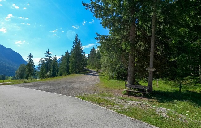
Starting Point: Pertisau, toll booth at the entrance to the Karwendel valleys
End Point: Pertisau, toll booth at the entrance to the Karwendel valleys
Elevation Profile


Description
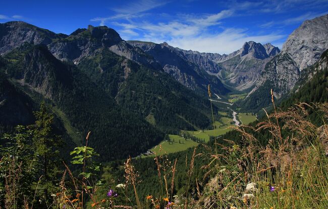
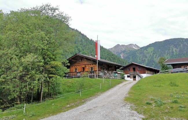
From the toll booth at the entrance to the Karwendel valleys, the route first leads along a forest path to the Pletzachalm. After crossing the stream bed, you run along a steep gravel road towards the Feilalm. At the junction, take the forest trail back to the starting point.