Pertisau - Seebergspitze - Pertisau
Important Infomation
🔖
Route Length
10.1 km
🜏
Elevation Gain
1145 hm
🞍
Highest Point
2085 hm
🔲
Elevation Loss
1145 hm
Time Uphill
03:30 h
Time Downhill
03:00 h
🏀
Route Time Total
06:30 h
🞽
Difficulty
Hard
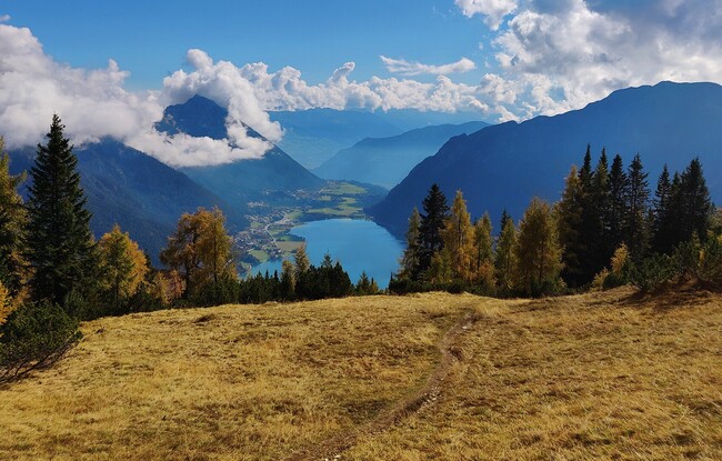
Starting Point: Pertisau, car park of the Achenseeschifffahrt
End Point: Pertisau, car park of the Achenseeschifffahrt
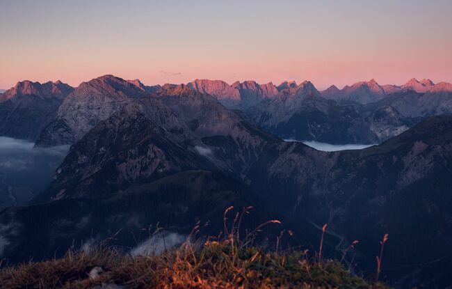
Elevation Profile


Description
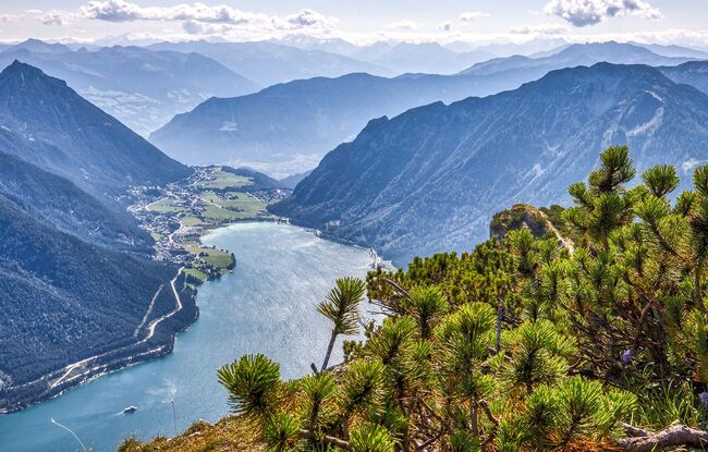
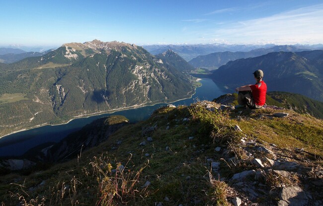
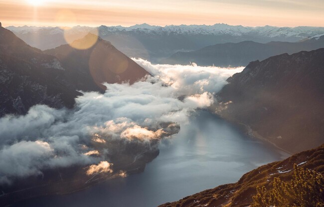
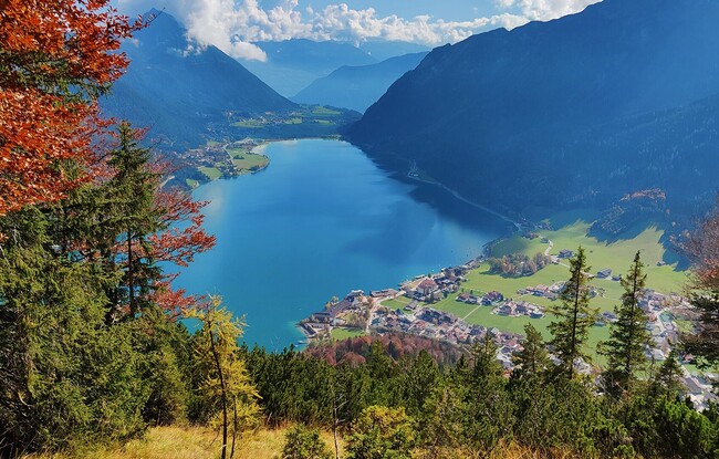
From the car park of the Achenseeschifffahrt in Pertisau, follow the forest path as it climbs over several bends to the viewpoint Hochried. Follow the trail to the southern flank of the Seebergspitze (2,085 metres). Walk across mountain pine fields and over a ridge to the Seebergspitze. The return is via the same route.