Pertisau - Gaisalm - Achenkirch - Pertisau
Important Infomation
🔖
Route Length
15.4 km
🜏
Elevation Gain
230 hm
🞍
Highest Point
980 hm
🔲
Elevation Loss
230 hm
Time Uphill
03:00 h
Time Downhill
03:00 h
🏀
Route Time Total
06:00 h
🞽
Difficulty
Medium
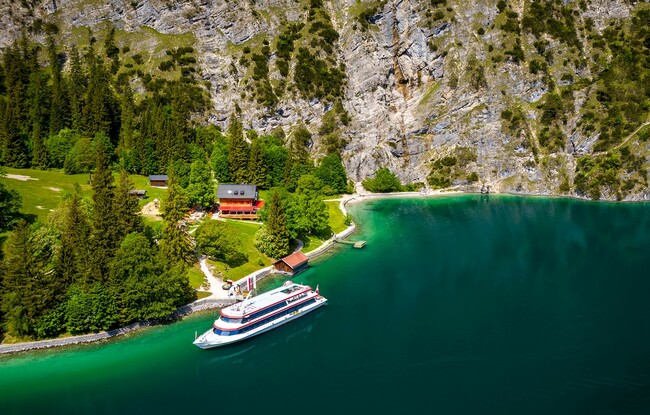
Starting Point: Pertisau, car park Achenseeschifffahrt
End Point: Pertisau, car park Achenseeschifffahrt
Elevation Profile

Description
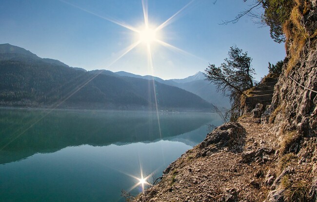
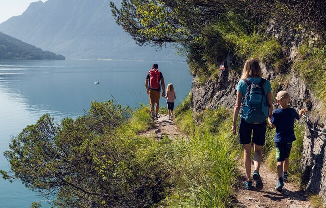
From the car park of the Achenseeschifffahrt, follow the short dirt path along the lake until it joins the rocky trail to the Gaisalm. Walk over scree and narrow sections until you arrive at the Gaisalm mountain hut. From here, a steep trail climbs through rocky terrain to Achenkirch. The northern lakeshore is not accessible, but a little detour takes you to the pier Scholastika. The return is via the same route or by ship.
(Attention: The trail from Achenkirch via the Gaisalm to Pertisau has some narrow sections which require sure-footedness and a head for heights).