Pertisau - Feilalm - Gütenbergalm - Pertisau
Important Infomation
🔖
Route Length
11.3 km
🜏
Elevation Gain
590 hm
🞍
Highest Point
1545 hm
🔲
Elevation Loss
590 hm
Time Uphill
02:15 h
Time Downhill
01:45 h
🏀
Route Time Total
04:00 h
🞽
Difficulty
Medium
Starting Point: Pertisau, Parkplatz Karwendeltäler
End Point: Pertisau, Parkplatz Karwendeltäler
Elevation Profile
Description
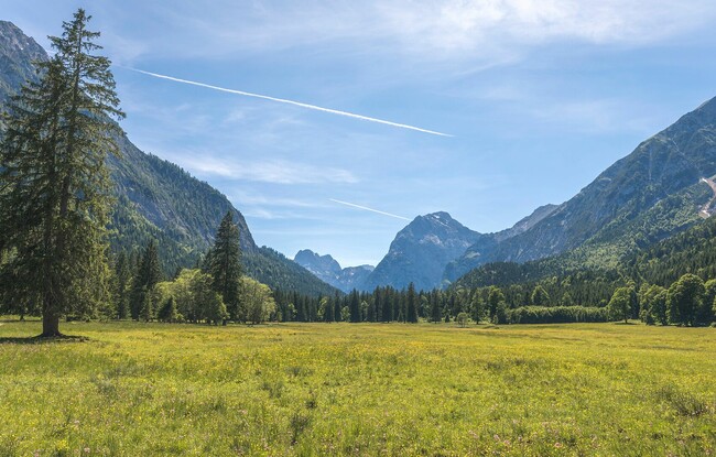
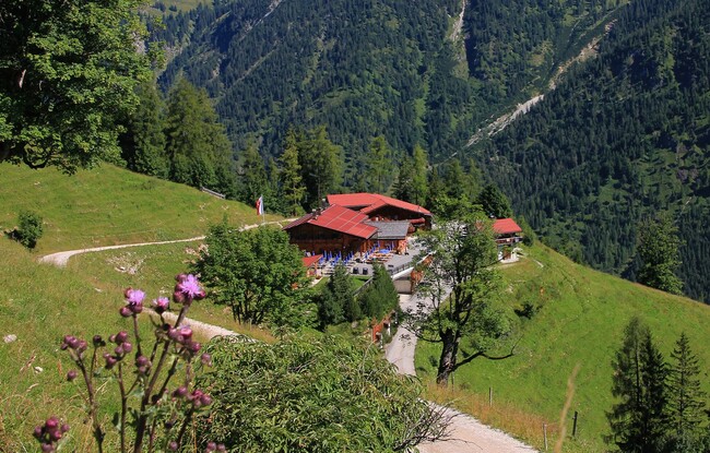
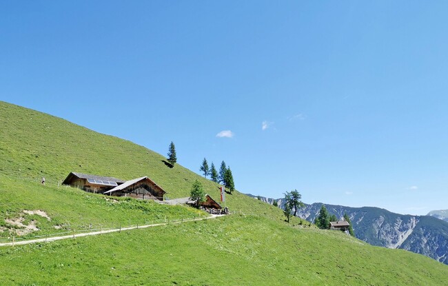
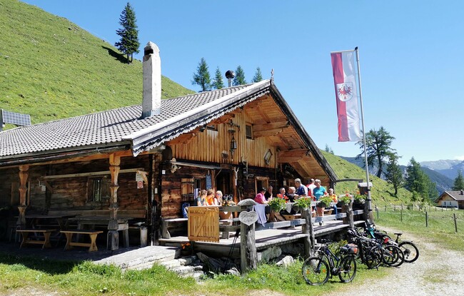
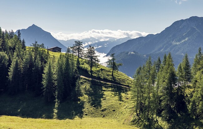
From the toll booth at the entrance to the Karwendel valleys in Pertisau, follow the toll road straight on in a westerly direction to the Gerntal. After ca. 20 minutes there is a signpost to the Feilalm on the left next to the road. Climb the trail in the direction of the Feilalm until you reach the forest road. Follow the signpost to the Feilalm (1,380 metre). Behind the mountain hut, follow the forest road to the Gütenbergalm (1,545 metre). The return is via the same route.