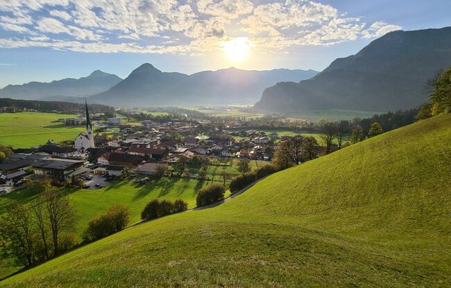
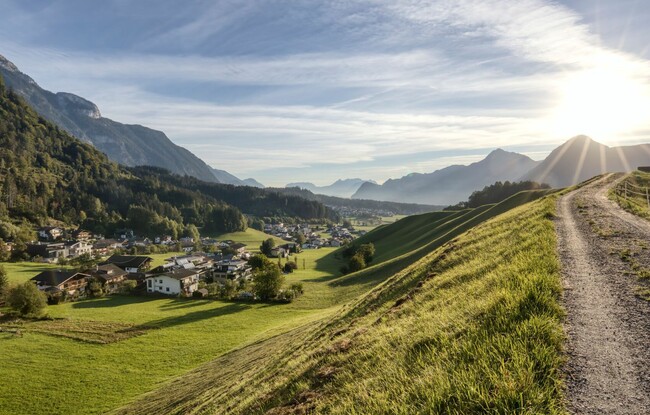
Panoramalauf
Important Infomation
🔖
Route Length
9.1 km
🜏
Elevation Gain
260 hm
🞍
Highest Point
700 hm
🔲
Elevation Loss
250 hm
🞽
Difficulty
Medium
Starting Point: Wiesing, village centre
End Point: Wiesing, village centre
Elevation Profile
Description
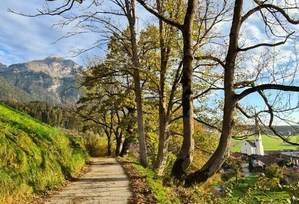
From Sparmarkt Eder, this tour climbs over some inclines along the edge of the forest into the Obertautal and to Lake Achensee. Run past the bathing beach and through meadows and fields and return to the starting point.