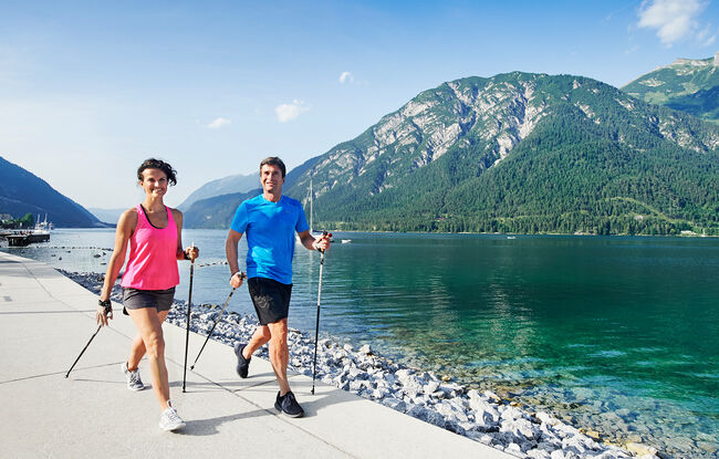
Panorama Runde
Important Infomation
🔖
Route Length
10 km
🜏
Elevation Gain
65 hm
🞍
Highest Point
975 hm
🔲
Elevation Loss
65 hm
🞽
Difficulty
Medium
Starting Point: Pertisau, toll booth at the entrance to the Karwendel valleys
End Point: Pertisau, toll booth at the entrance to the Karwendel valleys
Elevation Profile

Description
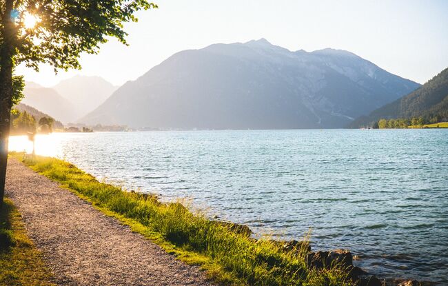
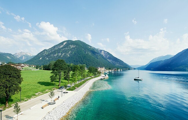
From the toll booth at the entrance to the Karwendel valleys, you run past the sports field and take the lower Seebergsteig trail and the Seepromenadenweg trail to Maurach. The route leads back to the starting point via the panoramic trail above the main road.