Maurach - Weißenbachhütte - Weißenbachalm - Maurach
Important Infomation
🔖
Route Length
12.7 km
🜏
Elevation Gain
680 hm
🞍
Highest Point
1607 hm
🔲
Elevation Loss
680 hm
Time Uphill
02:30 h
Time Downhill
02:00 h
🏀
Route Time Total
04:30 h
🞽
Difficulty
Easy
Starting Point: Maurach, car park Seespitz
End Point: Maurach, car park Seespitz
Elevation Profile
Description
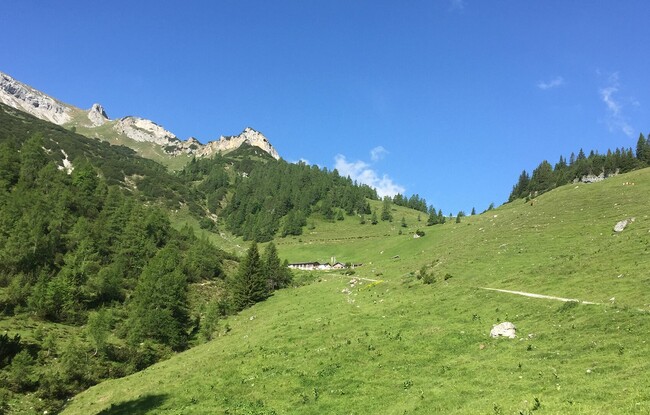
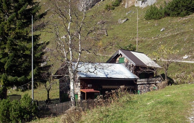
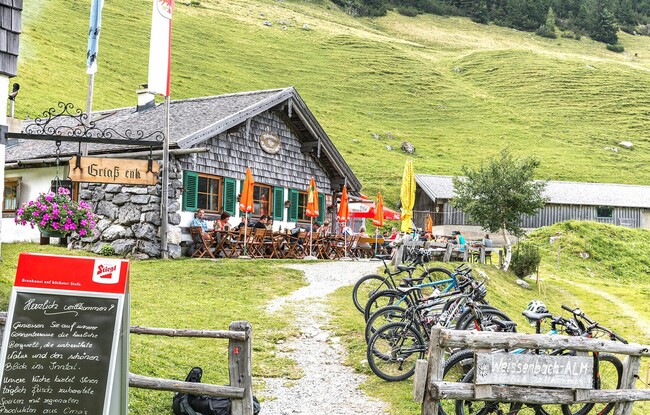
The tour begins to the left of the car park Seespitz. Follow the road for a few metres, at the restaurant Peter’s Grill walk across the road and from the car park, climb the narrow trail to the panorama trail. Turn left, walk straight ahead, at the next junction keep right and follow the asphalt road to the last houses of the Lärchenwiese. A forest road branches off from the road and leads to the Weißenbachtal. After a short hike, walk across the stream bed of the Weißenbach which is generally dry. Continue along the forest road which climbs gradually to the mountain huts Weißenbachhütte (1,550 metres, not serviced) and Weißenbachalm (1,607 metres). The return is via the same route.