Maurach - Stanser Joch - Maurach
Important Infomation
Elevation Profile
Description
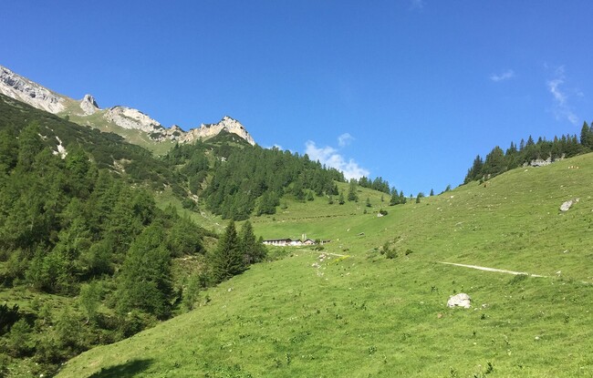
The tour begins to the left of the car park Seespitz. Follow the road for a few metres, at the restaurant Peter’s Grill walk across the road and from the car park, climb the narrow trail to the panorama trail. Turn left, follow the trail straight on, then turn right at the next junction and follow the asphalt road to the last houses of the Lärchenwiese. A forest road branches off from the road and leads to the Weißenbachtal. After a short hike, walk across the stream bed of the Weißenbach which is generally dry. Continue along the forest road which climbs gradually to the mountain huts Weißenbachhütte (not serviced) and Weißenbachalm. From the Weißenbachalm, the trail climbs in a southerly direction to the Stanser Joch (signposted). The trail meanders uphill over some steep sections and takes you to a saddle. Walk past the avalanche barriers to the left where the trail flattens until you reach the summit cross of the Stanser Joch (2,102 metres). The return is via the same route.