Maurach - Pertisau/Karwendeltäler – Maurach
Important Infomation
🔖
Route Length
9.6 km
🜏
Elevation Gain
40 hm
🞍
Highest Point
975 hm
🔲
Elevation Loss
40 hm
Time Uphill
01:30 h
Time Downhill
01:30 h
🏀
Route Time Total
03:00 h
🞽
Difficulty
Easy
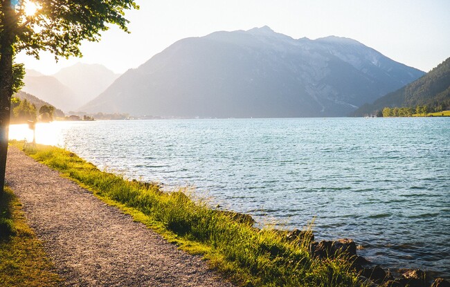
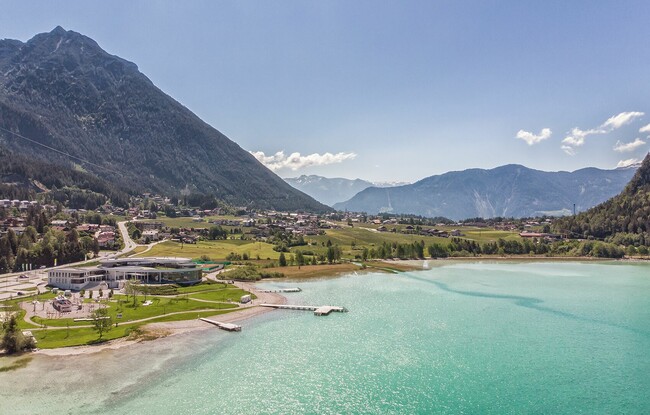
Starting Point: Maurach, Atoll Achensee
End Point: Maurach, Atoll Achensee
Elevation Profile
Description
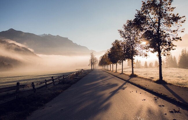
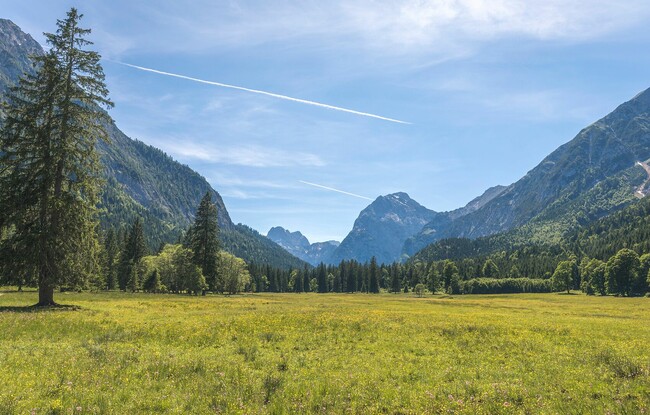
From the Atoll Achensee, follow the cycle and footpath to the lakeshore. At the pier “Seespitz”, you can choose the lakeside promenade on the right and walk to Pertisau. Alternatively, you can walk across the road and take the elevated panoramic path through the forest. Follow the signposts until you reach the valley station of the Karwendel cable car. If you continue walking to the Langlaufstüberl at the end of Pertisau, you have reached the entry to the Karwendel valleys in the Nature Park Karwendel. The hiking trail along the lake is barrier-free. The return is via the same route.
Tip: Alternatively, you can return to the starting point by bus or by ship to the pier “Seepsitz”.