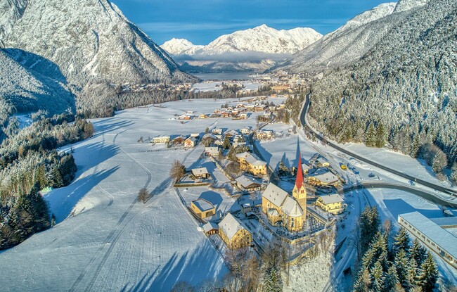
Maurach - Eben - Wiesing-Erlach - Maurach
Important Infomation
🔖
Route Length
8.8 km
🜏
Elevation Gain
290 hm
🞍
Highest Point
970 hm
🔲
Elevation Loss
290 hm
Time Uphill
01:30 h
Time Downhill
01:30 h
🏀
Route Time Total
03:00 h
🞽
Difficulty
Easy
Starting Point: Maurach, village centre
End Point: Maurach, village centre
Elevation Profile

Description
From the Maurach village centre walk along the village road to the church “St. Notburgakirche” in Eben. Above the church “St. Notburgakirche” next to the tracks of the Achensee steam cog railway a broad gravel path (long-distance cycle route “Munich Venice”) descends to the Inntal valley. Follow this path until you reach the house with the number 227 in the district Erlach in Wiesing. The way back is via the same route or take the public bus back to Lake Achensee.