Maurach - Bergstation Rofan Seilbahn - Maurach
Important Infomation
Elevation Profile
Description
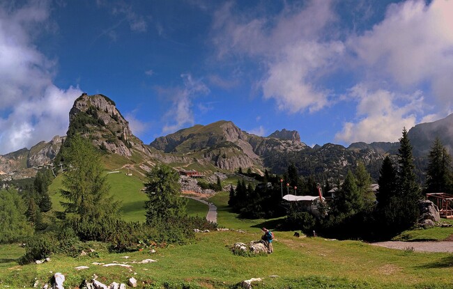
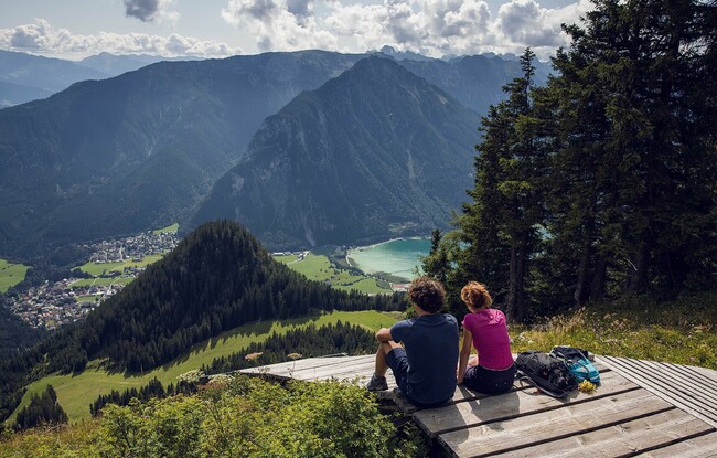
From the valley station of the Rofan cable car, follow the path past the hotel Naturhotel Alpenblick until you reach the wooden bridge. From here, continue along the Eagle Walk along the stream in the direction of “Buchauer Alm”. The trail climbs uphill to the ski descent above the Buchauer Alm*) by way of steep switchbacks (signposted). Turn right and walk past the Mauritzer Rasthütte (not serviced) and follow the yellow signpost to the Erfurter Hütte. Walk over alpine pastures to the Mauritzer Niederleger (decrepit). The trail continues through sparse forest and climbs over the ski slope to the plateau near the top station of the Rofan cable car. The return is via the same route.
*) Sadly, the Buchauer Alm was destroyed in a tragic fire. It is not yet clear whether the mountain hut will be rebuilt.