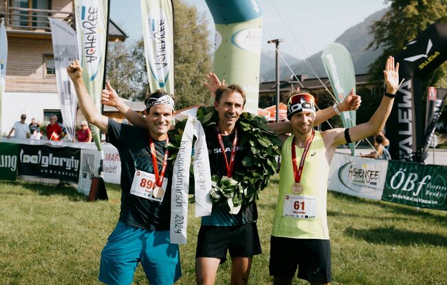
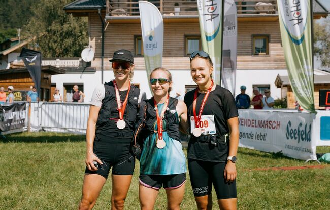
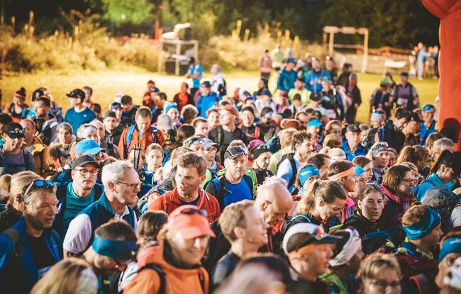
Karwendelmarsch
Important Infomation
🔖
Route Length
52 km
🜏
Elevation Gain
2281 hm
🞍
Highest Point
1903 hm
🔲
Elevation Loss
2110 hm
🏀
Route Time Total
10:00 h
🞽
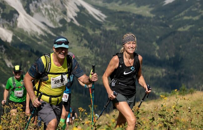
Difficulty
Hard
Starting Point: 967
End Point: Pertisau, Fischergut
Elevation Profile
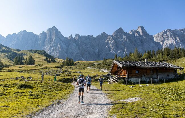
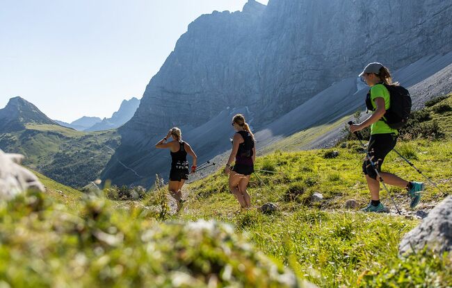
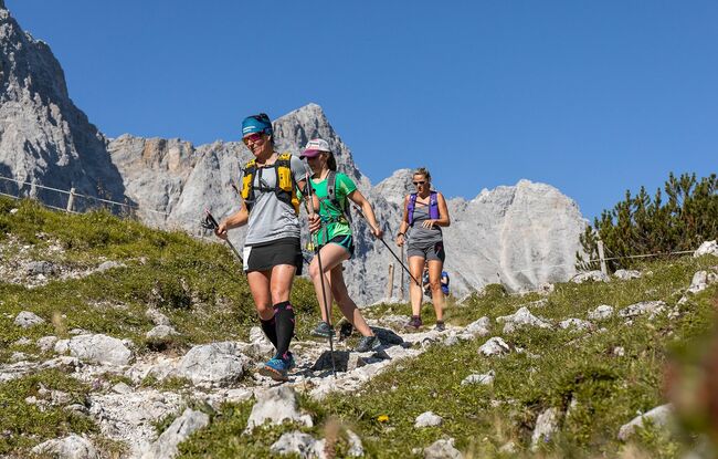
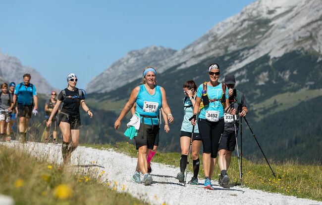
Description
The route of Karwendelmarsch starts at Scharnitz (964m) and leads on the following points:
the Schafstallboden (1.173m), 9,58km
the Karwendelhaus (1.771m), 18,19km
the Kleiner Ahornboden (1.399m), 24,23km
the Falkenhütte (1.848m), 30,23km
the Eng (1.227m) – 35km Finish,
the Binsalm (1.502m), 38,37km
the Gramai Hochleger (1.756m), 41,52km
the Gramai Alm (1.263m), 44,50km and
the Falzthurn Alm (1.098m), 48,18km
to Pertisau am Achensee (932m) – 52km Finish