Kaisersteig: Achenkirch - Kaiser-Maximilian-Rast - Köglalm - Achenkirch
Important Infomation
🔖
Route Length
5.2 km
🜏
Elevation Gain
470 hm
🞍
Highest Point
1431 hm
🔲
Elevation Loss
470 hm
Time Uphill
01:30 h
Time Downhill
01:30 h
🏀
Route Time Total
03:00 h
🞽
Difficulty
Medium
Starting Point: Achenkirch, Landgasthof Fischerwirt
End Point: Achenkirch, Landgasthof Fischerwirt
Elevation Profile
Description
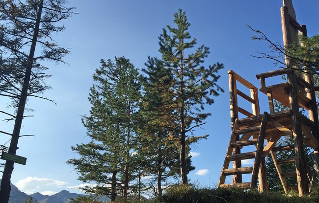
From the Landgasthof Fischerwirt, the path leads through the underpass of the Achensee main road, then climbs to the Köglalm (see signposts). Walk past the mountain hut and follow the first signpost in the direction of Achenseehof back to the valley until you arrive at the Adventure Park/Achenseehof. Walk back to the starting point alongside the lake or take the regional bus.
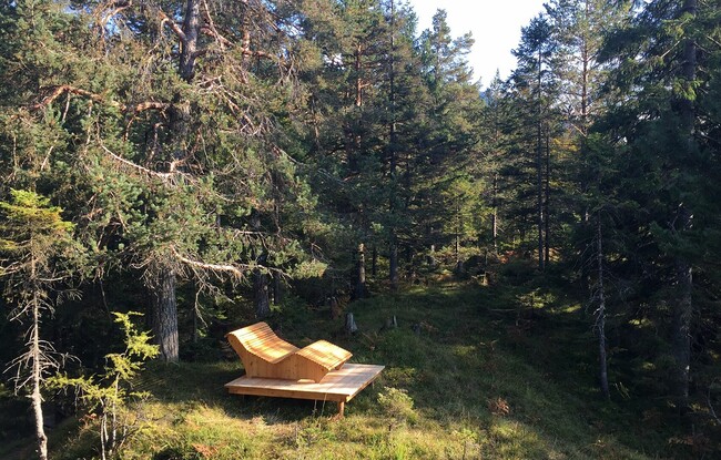
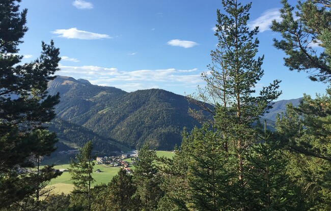
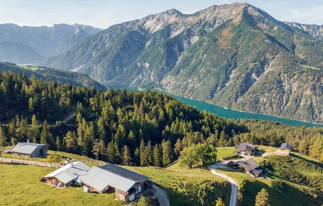
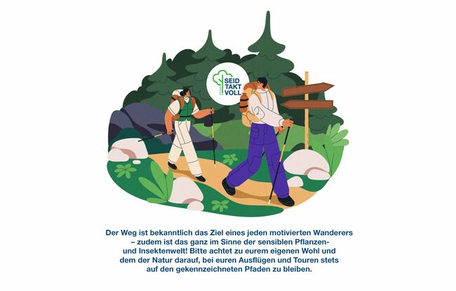
The Achensee region carries the Tirolean seal of quality for the high standard of its hiking paths. The "Kaisersteig" has been named "Tirolean mountain trail of distinction" for its scenic beauty, stunning views and unique flora.