Höfewanderung
Important Infomation
🔖
Route Length
11.2 km
🜏
Elevation Gain
370 hm
🞍
Highest Point
1035 hm
🔲
Elevation Loss
370 hm
Time Uphill
01:45 h
Time Downhill
01:45 h
🏀
Route Time Total
03:30 h
🞽
Difficulty
Easy
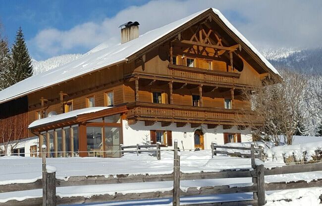
Starting Point: Steinberg am Rofan, parish church
End Point: Steinberg am Rofan, parish church
Elevation Profile


Description
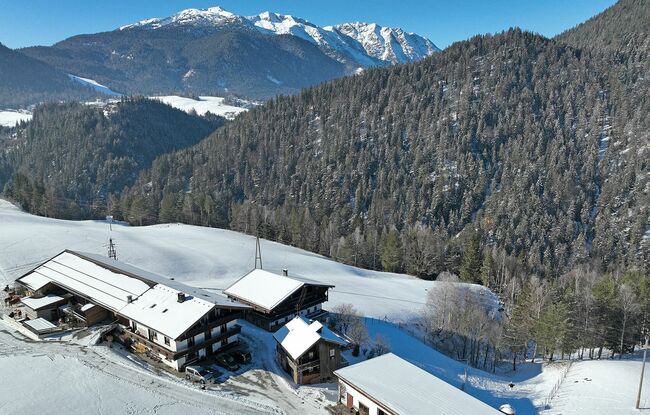
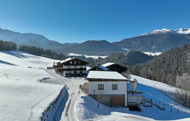
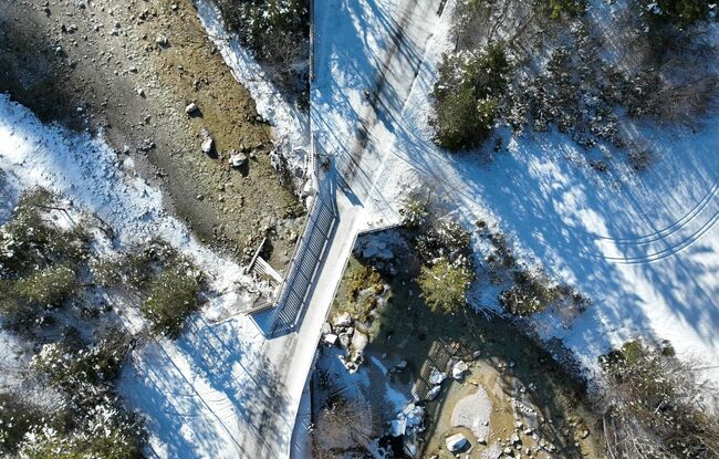
This tranquil, scenic hiking tour starts from the parish church. After the Dorfhaus, keep right and walk along the federal road below the Waldhäusl inn (for ca. 25 minutes). Turn right in the direction of Kaiserhaus/Pinegg. Follow the road, and at the next junction, turn right in the direction of Enterhof/Durrahof. The path descends via the Steinberger "Loch" to the Steinberger Ache. Walk across the bridge and follow the road upwards past the small farm shop of the Enterhof. Finally, you reach the Durrahof (from the Loch it is ca. 40 minutes’ walk to the Durrahof). The return is via the same route.