Hochplatte (1.813m)
Important Infomation
Elevation Profile
Description
Overall character: Very rewarding and popular ski tour
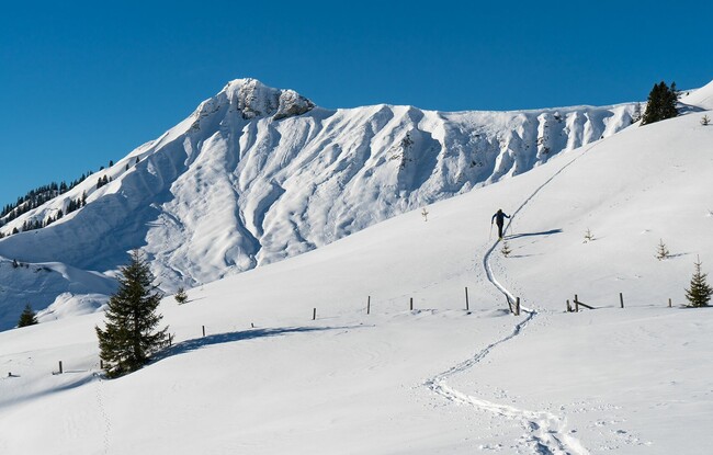
Ascent: From the car park (avalanche beacon checkpoint), set off over the free hill in a southwestern direction to the Falkenmoosalm forest road. Follow this road into the forest and at the first right bend, head to the left and follow the summer hiking path. At the edge of the forest, climb up to the Falkenmoosalm (1,328m) on open meadows. To the west at an elevation of 1,500m, turn left and climb the ridge in a southwestern direction. At the summer hiking path, walk around a jagged rock and turn left immediately. Continue along a wide clearing alongside the ridge in a southwestern direction. Avoid the steep slope to the left (danger of avalanches) and walk through a basin to the summit cross.
Descent: Alongside the ascent route