Gramai Alm - Lamsenjoch - Hahnkampl - Gramai Alm
Important Infomation
🔖
Route Length
10 km
🜏
Elevation Gain
830 hm
🞍
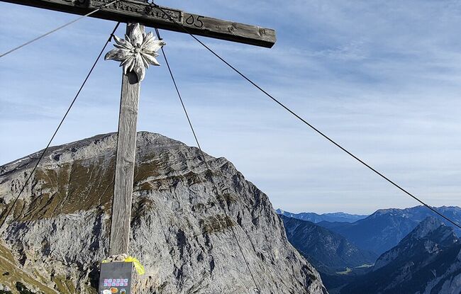
Highest Point
2080 hm
🔲
Elevation Loss
830 hm
Time Uphill
03:00 h
Time Downhill
02:15 h
🏀
Route Time Total
05:15 h
🞽
Difficulty
Hard
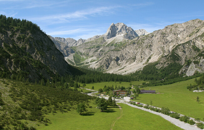
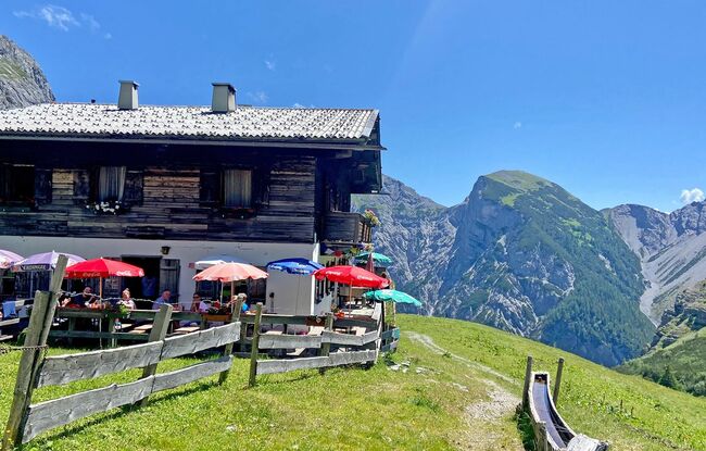
Starting Point: Pertisau, Gramai Alm
End Point: Pertisau, Gramai Alm
Route Type: Roundtrip
Elevation Profile

Description
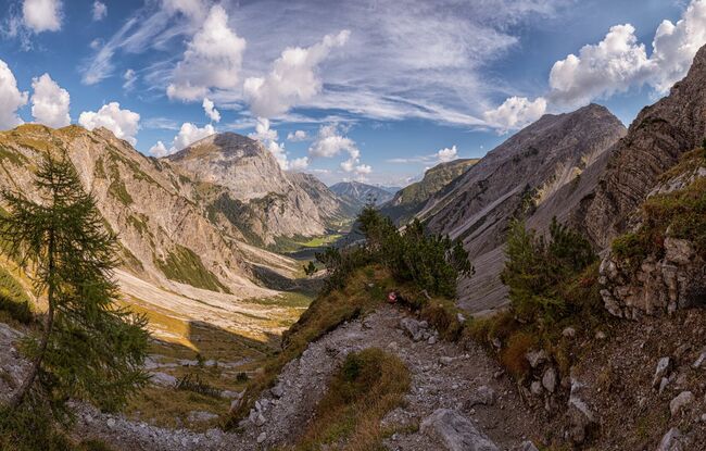
From the Gramai Alm, walk uphill through the Gramaigrund to the Lamsenjoch. On the saddle, keep right and walk over the wide grassy ridge, then over the narrow ridge (slightly exposed, a short section is secured with a rope) to the Hahnkampl (2,082 metres). Turn right and descend over pastures to the Gramai Hochleger and walk back to the Gramai Alm.