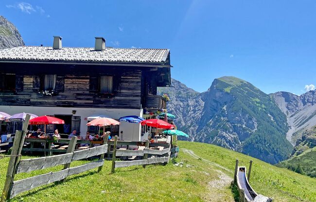
Gramai Alm - Gramai Hochleger - Gramai Alm
Important Infomation
🔖
Route Length
5.9 km
🜏
Elevation Gain
490 hm
🞍
Highest Point
1756 hm
🔲
Elevation Loss
490 hm
Time Uphill
01:45 h
Time Downhill
01:15 h
🏀
Route Time Total
03:00 h
🞽
Difficulty
Medium
Starting Point: Pertisau, Gramai Alm
End Point: Pertisau, Gramai Alm
Elevation Profile


Description
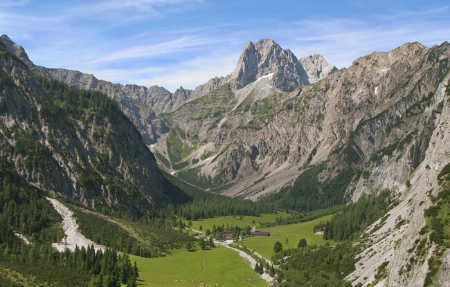
From the Gramai Alm mountain hut, walk across the bridge to the gravel plain. Turn right and climb the steep trail to the Gramai Hochleger. The return is via the same route.