Gern Alm - Satteljoch
Important Infomation
🔖
Route Length
10.2 km
🜏
Elevation Gain
785 hm
🞍
Highest Point
1935 hm
🔲
Elevation Loss
785 hm
Time Uphill
02:45 h
Time Downhill
02:15 h
🏀
Route Time Total
05:00 h
🞽
Difficulty
Medium
Starting Point: Pertisau, Gern Alm
End Point: Pertisau, Gern Alm
Elevation Profile


Description
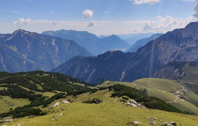
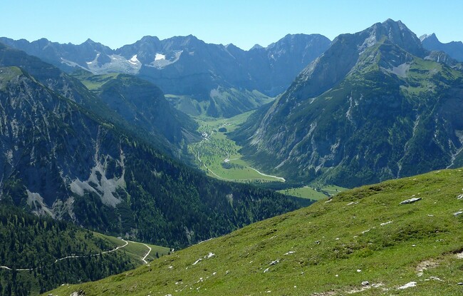
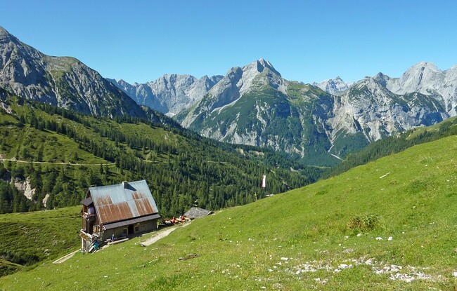
From the Gern Alm you hike up an uphill path to the Plumssattel. Follow the signposted path in the direction of Plumsjoch/Montscheinspitze. Until just before the ascent to the Plumsjoch, take the path to the left to the Satteljoch. Alternatively, an ascent from the Hagelhütten in the Rißtal via the Plumsjochhütte or Hasentalalm is also possible.