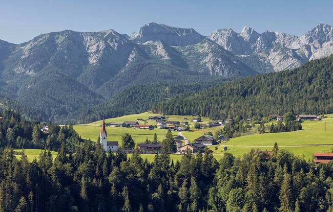
From Mountaineering Village to Mountaineering Village
Important Infomation
Elevation Profile


Description
A demanding 2-day hiking tour from the mountaineering village of Steinberg am Rofan to the mountaineering village of Kreuth on the Bavarian side. Hikers can expect many wonderful peaks with a great view and highlights.
Stage 1:
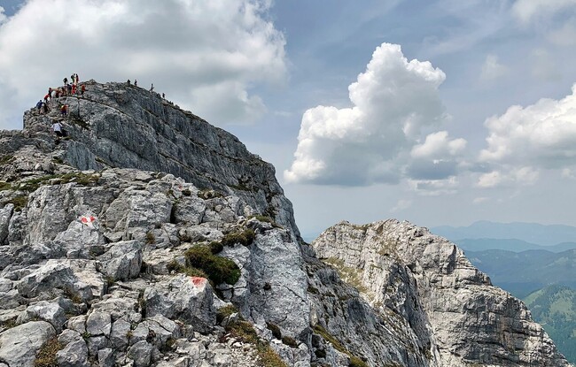
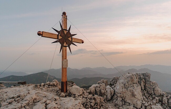
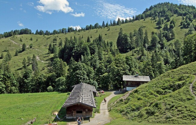
Steinberg am Rofan, Gasthof Waldhäusl (1,015m) - Guffert (2,195m) - Issalm - Schneidjoch (1,811m) - Gufferthütte (1,475m, Refreshment & overnight stay)
Stage 2:
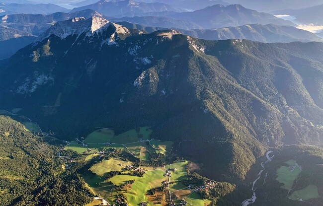
Gufferthütte - Blaubergkopf (1,787m) - Königsalm, refreshment possibility (1,115m) - Kreuth (hiking car park Kreuth - Siebenhütten at the bridge Gernbergbrücke)
A detour to the mountain peaks Halserspitz (1,863m) and Schildenstein (1,613m), which are on the way, should also be planned. Both offer a wonderful view of the surrounding mountains.
Back to the starting point with the mountaineering bus of the RVO bus line 390 and the VVT bus line 7801. From the bus stop "Siebenhütten, Kreuth" to the bus stop "Achenkirch Abzw Steinberg a. R.", change there to Steinberg am Rofan, exit at the bus stop "Steinberg a. R. Abzw Waldhäusl". Please pay attention to the bus departure times!