Eagle Walk - hiking trail to the Gramaialm
Important Infomation
🔖
Route Length
16.4 km
🜏
Elevation Gain
320 hm
🞍
Highest Point
1263 hm
🔲
Elevation Loss
320 hm
🏀
Route Time Total
04:00 h
🞽
Difficulty
Easy
Starting Point: Pertisau, information office Pertisau
End Point: Pertisau, information office Pertisau
Elevation Profile

Description
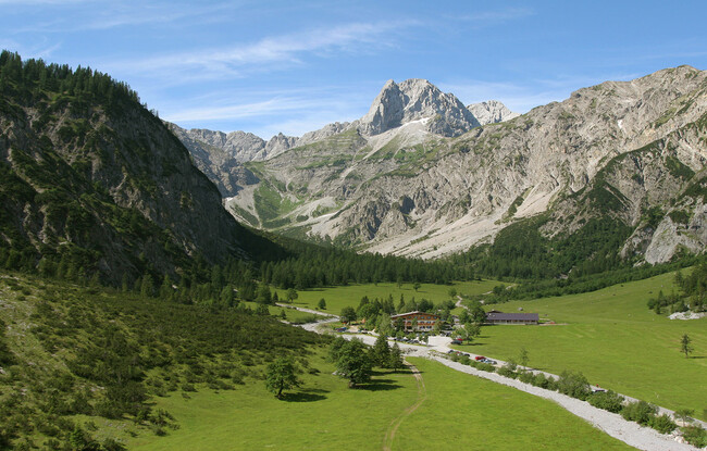
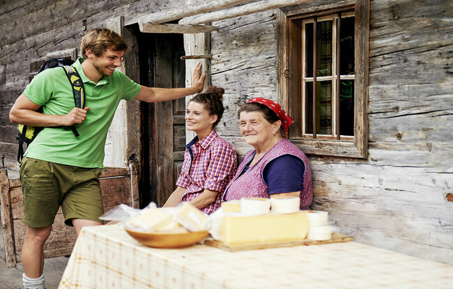
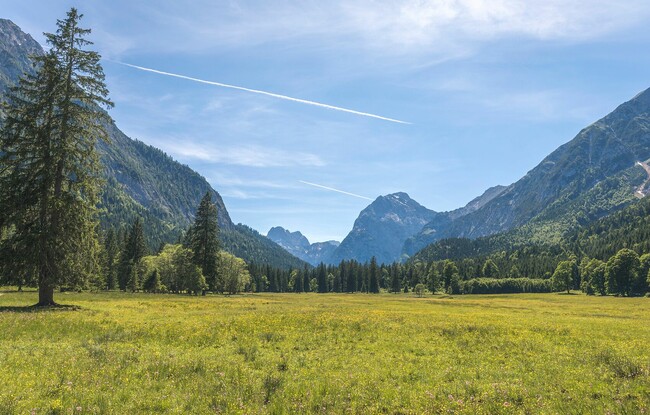
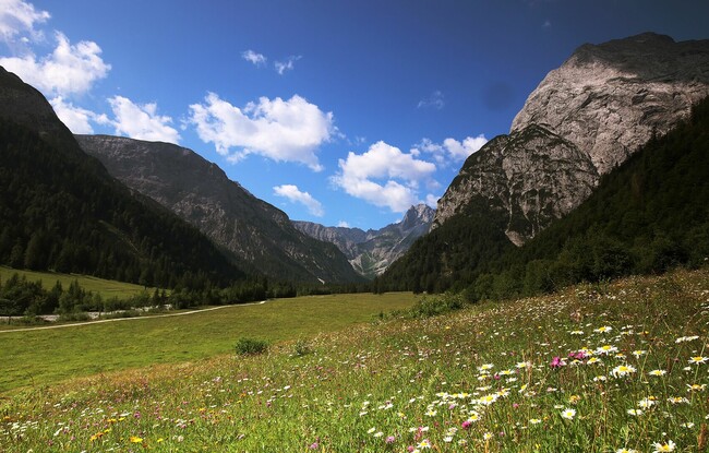
From the toll booth at the entrance to the Karwendel valleys, walk to the end of the car park along the asphalt path leading off to the left, to “Falzturnalm” mountain hut. From here, a natural trail leads over alpine meadows to the Gramaialm (1,263 metres) – Sennhütte = IVV checkpoint. When you have returned from the scenic hike, pick up your stamp at the information office Pertisau.
*IVV = Internationaler Volkssportverband (international sports organization)