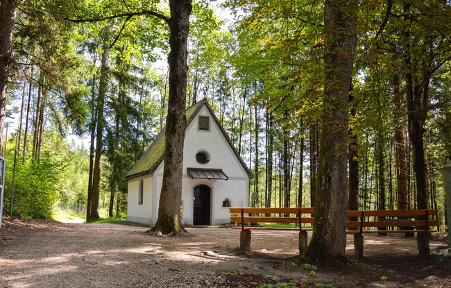
Church and chapel path - trail option 3: parish church Wiesing - Grünangerl chapel
Important Infomation
🔖
Route Length
4.4 km
🜏
Elevation Gain
25 hm
🞍
Highest Point
590 hm
🔲
Elevation Loss
25 hm
Time Uphill
01:00 h
Time Downhill
00:45 h
🏀
Route Time Total
01:45 h
🞽
Difficulty
Easy
Starting Point: Wiesing, parish church
End Point: Wiesing, parish church
Elevation Profile
Description
From the parish church Wiesing, walk to the underpass of the Achensee main road in the direction of the campsite. At the junction, turn right at house number 400 and walk straight on until you reach the forest path to the Grünangerl chapel.