Church and chapel path - trail option 1: parish church Wiesing - Bühelkreuz
Important Infomation
🔖
Route Length
2.5 km
🜏
Elevation Gain
110 hm
🞍
Highest Point
680 hm
🔲
Elevation Loss
110 hm
Time Uphill
00:45 h
Time Downhill
00:30 h
🏀
Route Time Total
01:15 h
🞽
Difficulty
Easy
Starting Point: Wiesing, parish church
End Point: Wiesing, parish church
Elevation Profile
Description
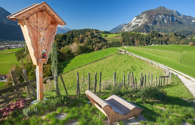
From the parish church Wiesing, walk up the village street to the primary school. After the kindergarten, turn left onto the Leitenweg in the direction of Jenbach. At the first sitting bench, turn right and follow the trail as it climbs to the Mandlbödele by way of switchbacks. Continue along the ridge until you arrive at the Bühelkreuz.