Bärenwald Runde
Important Infomation
🔖
Route Length
6.3 km
🜏
Elevation Gain
200 hm
🞍
Highest Point
1100 hm
🔲
Elevation Loss
200 hm
🞽
Difficulty
Medium
Starting Point: Steinberg am Rofan, car park Rofan lifts II
End Point: Steinberg am Rofan, car park Rofan lifts II
Elevation Profile
Description
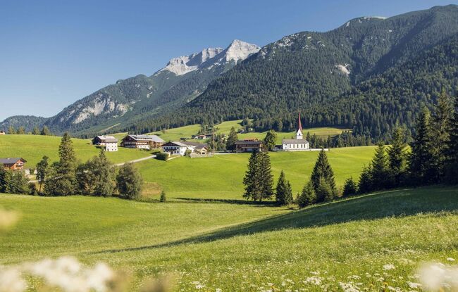
From the car park of the Rofan lifts II, the moderately difficult tour leads slightly uphill through the village of Steinberg, past the parish church and along the village street. After a junction, you return to the starting point via a beautiful forest path.