Achenseelauf - main run
Important Infomation
Elevation Profile


Description
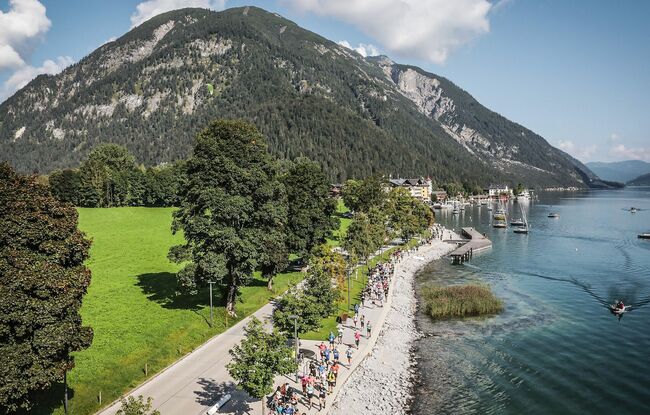
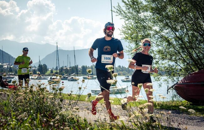
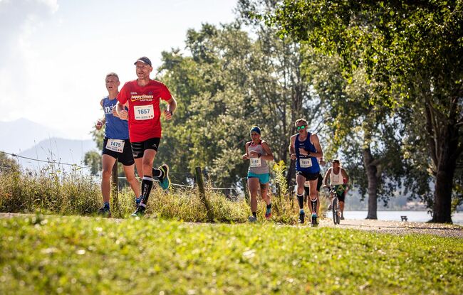
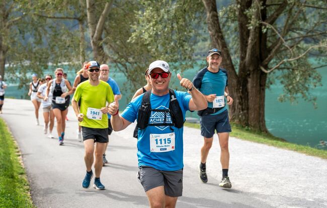
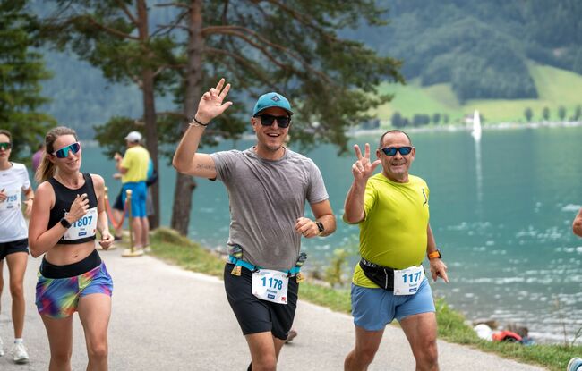
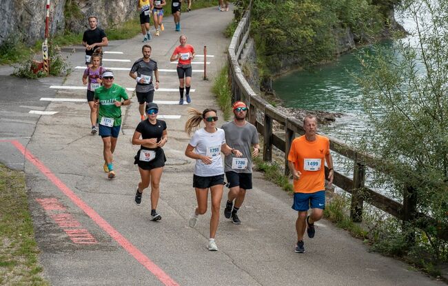
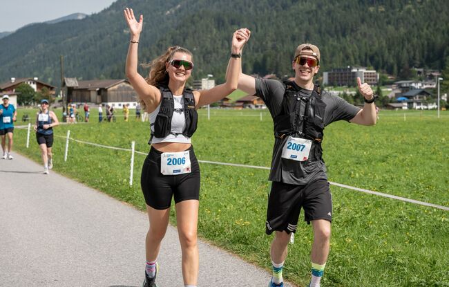
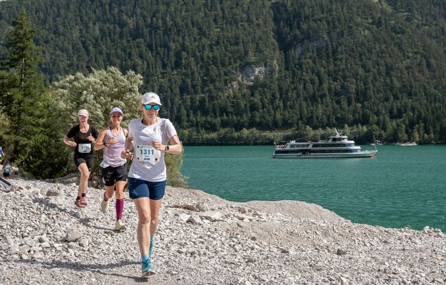
The Achensee Run, Austria’s most beautiful panoramic run, is truly a highlight for running enthusiasts. Every year in September, the international running scene is drawn to Pertisau. Runners have to conquer 23.2 kilometres and 171 metres of elevation gain as they circumnavigate Tirol's largest lake accompanied by breathtaking panoramic views.
Achensee Run facts and figures
Total length: 23,2 kilometres
Elevation gain: 171 metres
Highest elevation: 960 metres
Relays:
14 kilometres from Pertisau to Achenkirch
9,2 kilometres and 150 metres of elevation from Achenkirch to Pertisau.
The first section is flat and on tarmac and gravel. The second section is more challenging and has 150 vertical metres of ascent. The relay handover is in Achenkirch directly on the bridge in front of the Gasthof Fischerwirt. Runners can use the boat across the lake as a free shuttle to return to the start/finish area.
Refreshment stations: 5 stations
Registration & information: www.achenseelauf.at