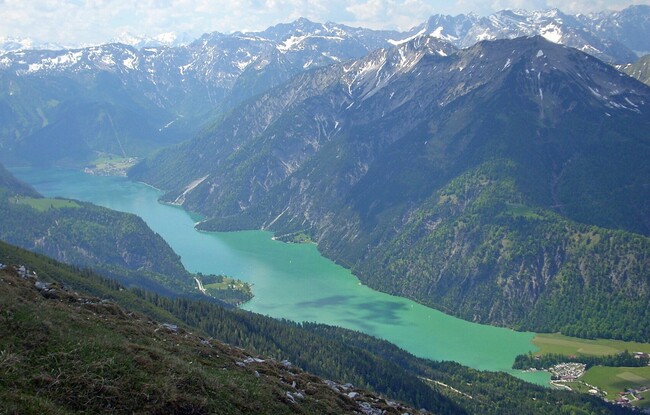
Achenkirch - Zöhreralm - Hochunnutz - Vorderunnutz - Achenkirch
Important Infomation
Elevation Profile


Description
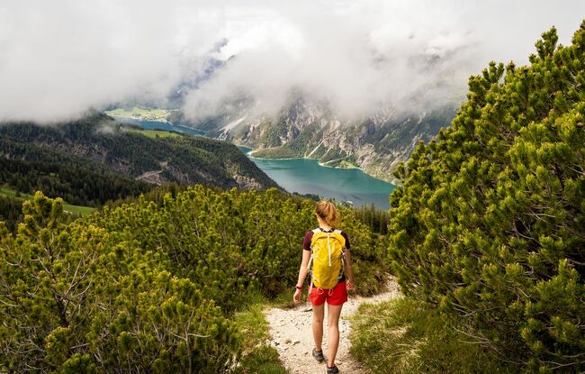
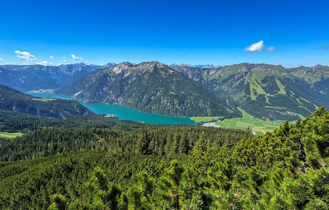
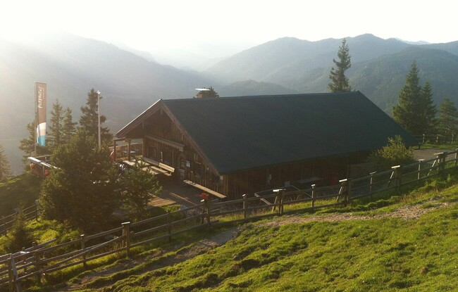
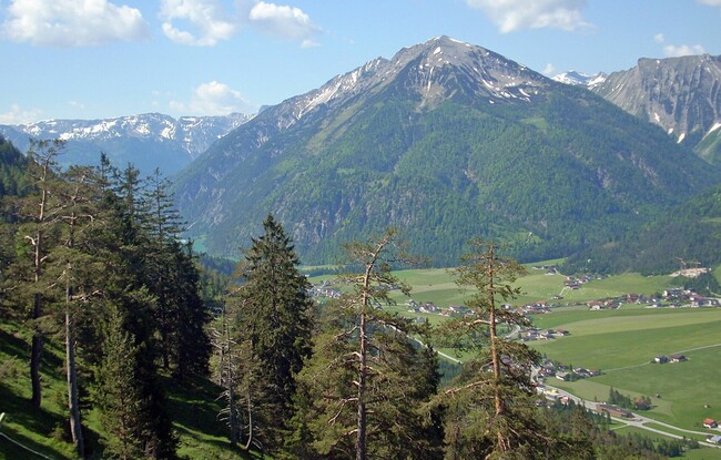
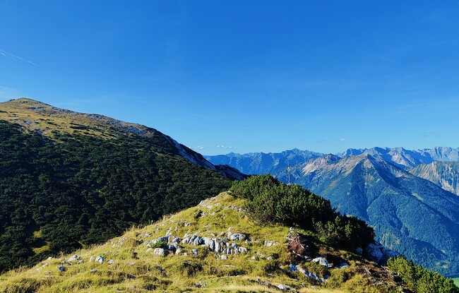
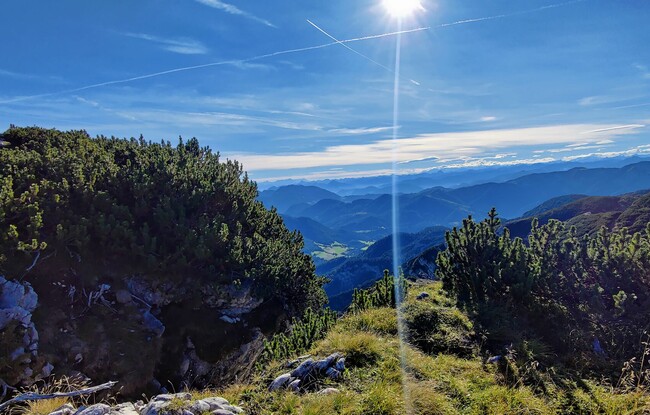
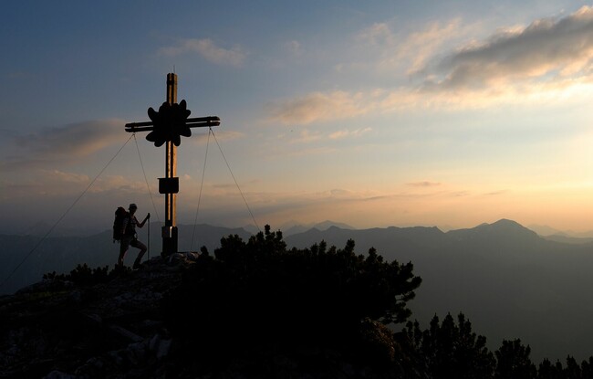
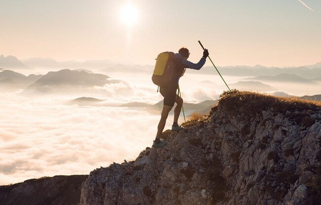
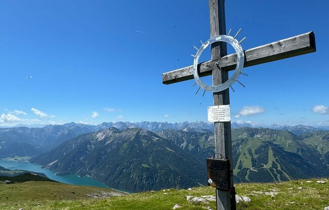
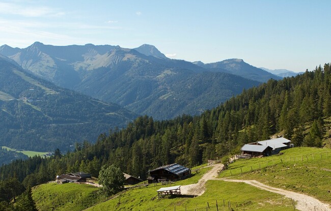
From the car park Sonnberg at the biomass cogeneration plant, walk to the Zöhreralm mountain hut (1,334 metres). Follow a steep forest trail, then walk between mountain pines and over the ridge to the Hochunnutz (2,075 metres) via the Hinterunnutz. The trail descends to the left and leads around the moderately difficult ridge of the Vorderunnutz before it climbs to the summit of the Vorderunnutz (2,078 metres). Walking across the ridge and descending between mountain pines and over craggy slopes to the Köglalm mountain hut (1,431 metres) is recommended for experienced hikers only. Walk past the Köglalm and follow the trail to Achenkirch which joins the forest road to the valley. Follow the signposts “Panoramaweg” in a northerly direction to the biomass cogeneration plant.