Achenkirch - Zöhreralm - Adlerhorst - Achenkirch
Important Infomation
🔖
Route Length
7.7 km
🜏
Elevation Gain
410 hm
🞍
Highest Point
1334 hm
🔲
Elevation Loss
410 hm
Time Uphill
02:00 h
Time Downhill
01:00 h
🏀
Route Time Total
03:00 h
🞽
Difficulty
Easy
Starting Point: Achenkirch, car park Sonnberg (biomass cogeneration plant)
End Point: Achenkirch, car park Sonnberg (biomass cogeneration plant)
Route Type: Roundtrip
Elevation Profile
Description
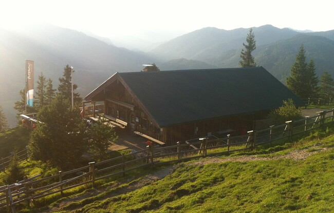
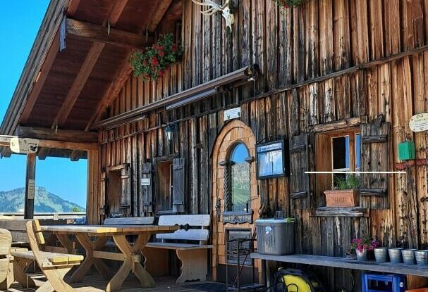
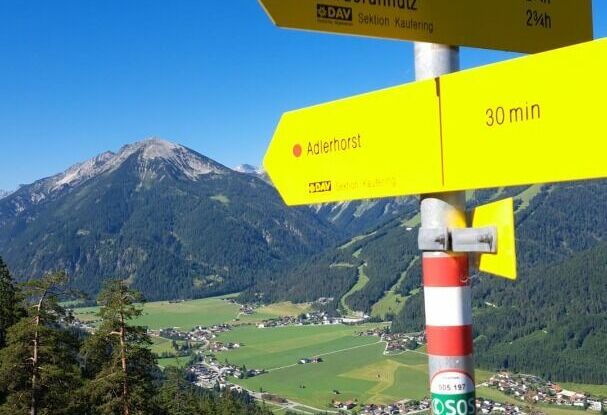
From the car park Sonnberg at the biomass cogeneration plant, a forest path leads to the Zöhreralm mountain hut (time ca. 1 hour 30 minutes). Follow the steep track to the “Adlerhorst”. From here, a scenic switchback trail winds its way down back to the car park.