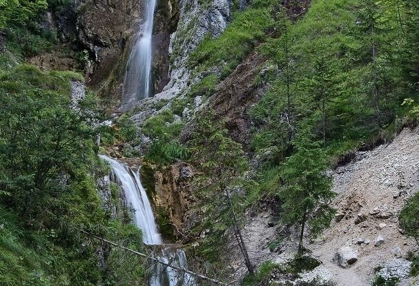
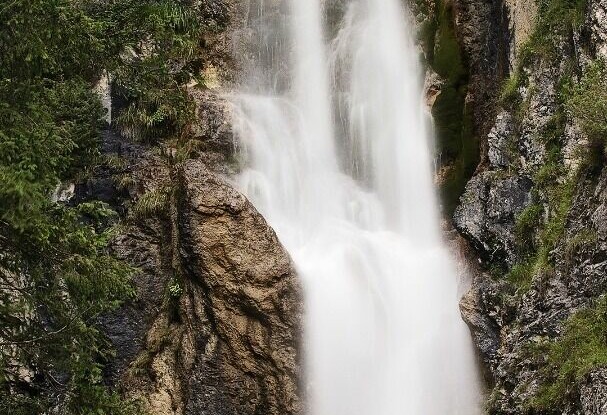
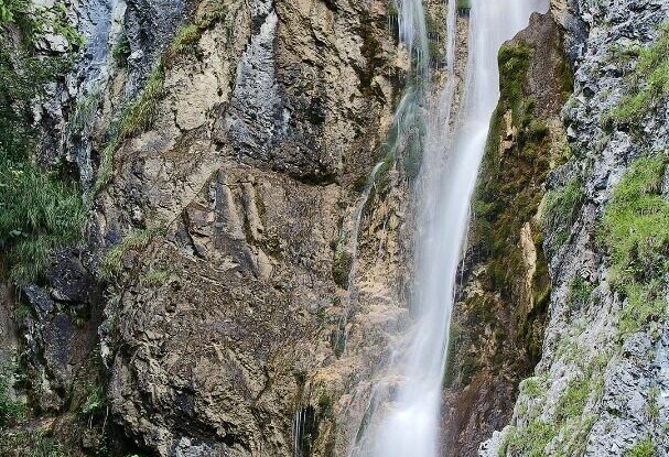
Achenkirch - Stod waterfall - Achenkirch
Important Infomation
🔖
Route Length
3.1 km
🜏
Elevation Gain
30 hm
🞍
Highest Point
970 hm
🔲
Elevation Loss
30 hm
Time Uphill
00:30 h
Time Downhill
00:30 h
🏀
Route Time Total
01:00 h
🞽
Difficulty
Easy
Starting Point: Achenkirch, "Sixenhof" local history museum
End Point: Achenkirch, "Sixenhof" local history museum
Elevation Profile

Description
From the Sixenhof local history museum, head west to the Schrambacherhof. From here, a flat path leads into the Oberautal valley. Right after the last farm-house and the Stod chapel, you will see the waterfall next to the path. The return is via the same route.