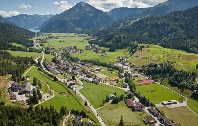
Achenkirch Runde
Important Infomation
🔖
Route Length
13.3 km
🜏
Elevation Gain
350 hm
🞍
Highest Point
1015 hm
🔲
Elevation Loss
350 hm
🞽
Difficulty
Hard
Starting Point: Achenkirch, Spar supermarket Eder
End Point: Achenkirch, Spar supermarket Eder
Elevation Profile

Description
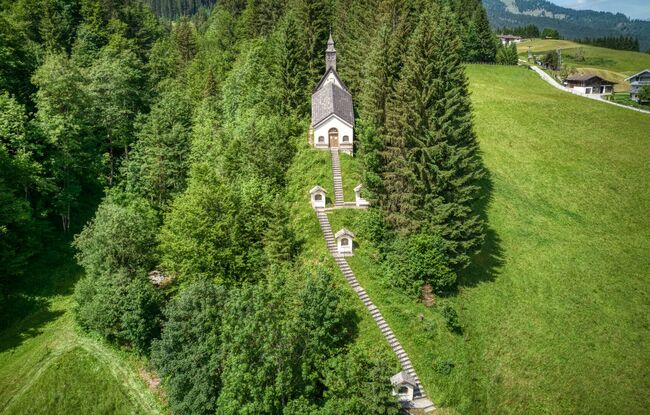
From Sparmarkt Eder, this tour climbs over some metres of elevation along a forest road to the biomass cogeneration plant. Continue through the forest, where you can enjoy wonderful views of Achenkirch. The same route takes you back to the starting point.