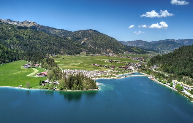
Achenkirch - Oberautal - Schrambachalm - Kaserstattalm - Achenkirch
Important Infomation
🔖
Route Length
13.2 km
🜏
Elevation Gain
510 hm
🞍
Highest Point
1441 hm
🔲
Elevation Loss
510 hm
Time Uphill
02:15 h
Time Downhill
01:45 h
🏀
Route Time Total
04:00 h
🞽
Difficulty
Medium
Starting Point: Achenkirch, Sixenhof local history museum
End Point: Achenkirch, Sixenhof local history museum
Elevation Profile


Description
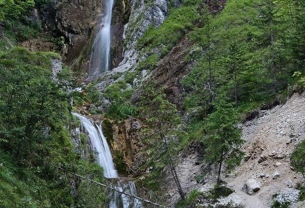
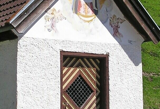
From the car park of the Sixenhof local history museum, head west to the Schrambacherhof. From here, a scenic path leads into the Oberautal valley. Right after the last farmhouse, turn right to the Stod chapel and walk past the Stod waterfall. After ca. 1 hour you arrive at the Schrambachalm (not serviced) and from here, the trail climbs gradually by way of switchbacks to the Kaserstattalm mountain hut (not serviced, time ca. 1 hour 15 minutes). The return is via the same route.