Achenkirch - Kranz-Wasserfall - Achenkirch
Important Infomation
Elevation Profile

Description
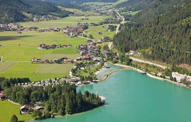
The route begins to the right of the Landgasthof Fischerwirt, then leads through the underpass of the Achensee main road. Follow the footpath to the left of the main road for ca. 450 metres, turn right at the third driveway and follow the signpost “Wasserfall” (waterfall). The return is via the same route.