Achenkirch - Falkenmoosalm - Großzemmalm - Juifen - Achenkirch
Important Infomation
🔖
Route Length
20.5 km
🜏
Elevation Gain
1120 hm
🞍
Highest Point
1988 hm
🔲
Elevation Loss
1120 hm
Time Uphill
04:00 h
Time Downhill
03:30 h
🏀
Route Time Total
07:30 h
🞽
Difficulty
Medium
Starting Point: Achenkirch, car park Falkenmoos
End Point: Achenkirch, car park Falkenmoos
Elevation Profile


Description
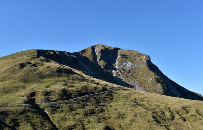
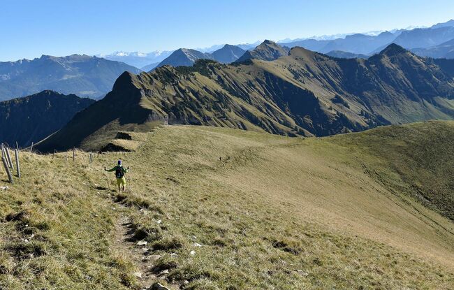
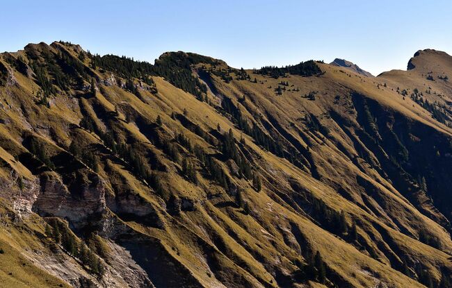
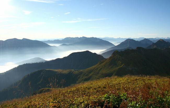
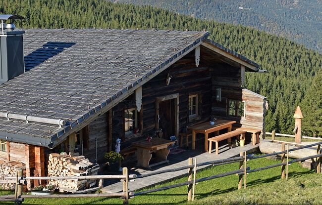
From the car park "Falkenmoos", a wide path first leads through shadowy forests, then over mountain pastures to the mountain huts Falkenmoosalm (1,328 metre, not serviced) and Großzemmalm (1,535 metre, not serviced). From here, head north and climb up to the Juifen (1,988 metre). The return is via the same route.