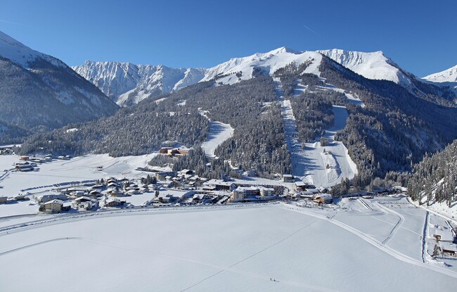
Achenkirch - Entrance to Unterautal - Achenkirch
Important Infomation
🔖
Route Length
4.3 km
🜏
Elevation Gain
40 hm
🞍
Highest Point
950 hm
🔲
Elevation Loss
40 hm
Time Uphill
00:30 h
Time Downhill
00:30 h
🏀
Route Time Total
01:00 h
🞽
Difficulty
Easy
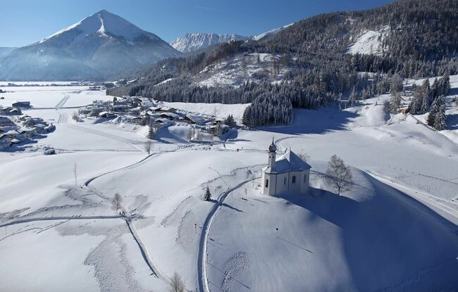
Starting Point: Achenkirch, parish church
End Point: Achenkirch, parish church
Elevation Profile

Description
From the Achenkirch parish church, walk left past the Annakircherl chapel and follow the sign “Wanderweg zum See” along the upper road of the Fiechtersied-lung housing estate. Descend to the left and after ca. 40 meters you arrive at the Unterautal valley. The return is via the same route.
Notice: Walking time varies depending on snow conditions.