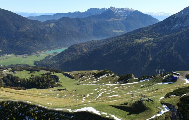
Achenkirch - Christlumkopf - Gföllalm - Achenkirch
Important Infomation
🔖
Route Length
12.9 km
🜏
Elevation Gain
820 hm
🞍
Highest Point
1758 hm
🔲
Elevation Loss
820 hm
Time Uphill
03:00 h
Time Downhill
02:30 h
🏀
Route Time Total
05:30 h
🞽
Difficulty
Medium
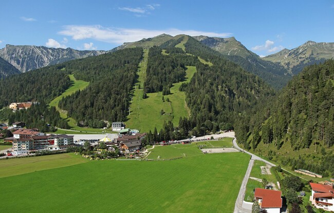
Starting Point: Achenkirch, car park Christlum lifts
End Point: Achenkirch, car park Christlum lifts
Elevation Profile
Description
From the car park of the Christlum lifts, take the forest path to the junction Moosenalm (not serviced), see signposts. From here, continue for ca. 200 metres, then turn left to the Christlumkopf. Descend via the Gföllalm back to the starting point.