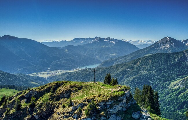
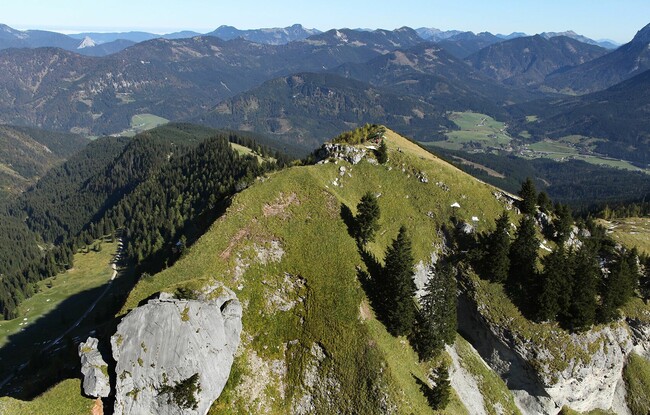
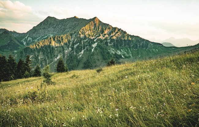
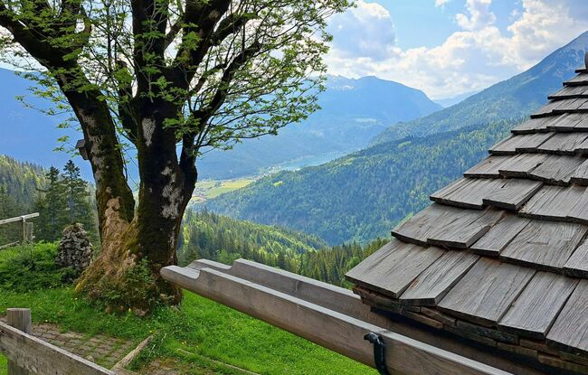
Achenkirch - Bründlalm - Jochalm - Seewaldhütte - Hochplatte - Achenkirch
Important Infomation
🔖
Route Length
11.1 km
🜏
Elevation Gain
860 hm
🞍
Highest Point
1813 hm
🔲
Elevation Loss
860 hm
Time Uphill
02:30 h
Time Downhill
02:00 h
🏀
Route Time Total
04:30 h
🞽
Difficulty
Medium
Starting Point: Achenkirch, car park Christlum lifts
End Point: Achenkirch, car park Christlum lifts
Elevation Profile


Description
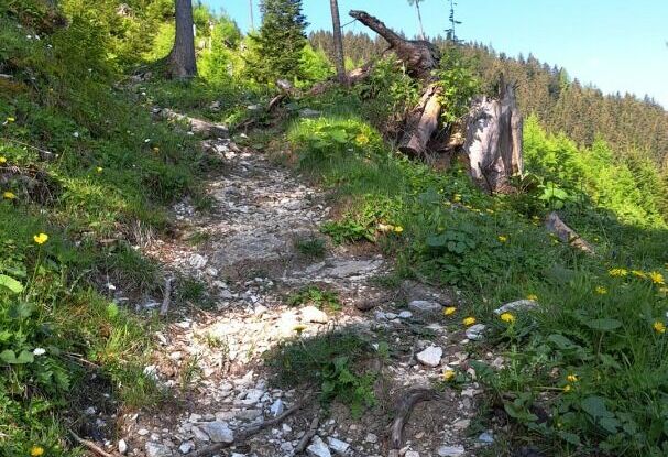
From the car park of the Christlum lifts, walk to the entrance of the Unterautal valley and continue to the wayside cross. From here, follow the Jägersteig trail. The trail climbs steeply, then turns into a wide path and leads past the mountain huts Bründlalm (not serviced) and Jochalm (not serviced) to the Seewaldhütte (drinks only served on Saturdays and Sundays). From here, a steep trail climbs to the Hochplatte. The return is via the same route.